Augustine

MarkerMarkerMarkerMarker
2
MarkerMarkerMarkerMarkerMarkerMarkerMarkerMarkerMarkerMarkerMarkerMarkerMarkerMarkerMarkerMarkerMarkerMarkerMarkerMarkerMarkerMarkerMarkerMarkerMarkerMarkerMarkerMarkerMarkerMarkerMarkerMarkerMarkerMarkerMarkerMarkerMarkerMarkerMarkerMarkerMarkerMarkerMarkerMarkerMarkerMarkerMarkerMarkerMarkerMarkerMarkerMarkerMarkerMarkerMarkerMarkerMarkerMarkerMarkerMarkerMarkerMarkerMarkerMarkerMarkerMarkerMarkerMarkerMarkerMarkerMarkerMarkerMarkerMarkerMarkerMarkerMarkerMarkerMarkerMarkerMarkerMarkerMarkerMarkerMarkerMarkerMarkerMarkerMarkerMarkerMarkerMarkerMarkerMarkerMarkerMarkerMarkerMarkerMarkerMarkerMarkerMarkerMarker
Legend
Red (Warning)
Orange (Watch)
Yellow (Advisory)
Green (Normal)
Uninstrumented
Community
Webcam
Instrument
Earthquake


Facts


  • Official Name: Augustine Volcano
  • Seismically Monitored: Yes
  • Color Code: GREEN
  • Alert Level: NORMAL
  • Elevation: 1260m (4133ft)
  • Latitude: 59.3626
  • Longitude: -153.435
  • Smithsonian VNum: 313010
  • Pronunciation:
  • Nearby Towns:
    • Pedro Bay 38 mi (60 km) NW
    • Pope-Vannoy Landing 39 mi (64 km) NW
    • Kokhanok 47 mi (75 km) NW
    • Nanwalek 53 mi (86 km) SE
    • Port Graham 57 mi (91 km) SE

    Distance from Anchorage: 176 mi (284 km)

Description

From Miller and others (1998) [1] : "Augustine Island, an 8 by 11 km island in lower Cook Inlet, is composed almost entirely of the deposits of Augustine Volcano. Jurassic and Cretaceous sedimentary strata form a bench on the south side of the island and are overlain by granitoid glacial erratics and volcanic hyaloclastites. The volcano consists of a central dome and lava flow complex, surrounded by pyroclastic debris. The irregular coastline of Augustine Island is due to the repeated catastrophic collapse of the summit dome, forming debris avalanches down the flanks and into Cook Inlet. At least 11 avalanches have occurred in the past 2000 years with an average recurrence interval of about 150-200 years [2] [3] .
"Augustine lies within the area of uplift resulting from the 1964 Alaska earthquake; 30-33 cm of uplift was measured on the northwest side of the island [4] . A 25-meter-high, south-facing submarine scarp 3 km south of the island, of similar orientation to joint sets in sedimentary rocks of the Kamishak River area (on the Alaska Peninsula), is almost certainly of tectonic origin."

Name Origin

The volcanic peak on Augustine Island was named "Mount San Augustine" in an 1867 U.S. Coast and Geodetic Survey report, and "Mount Chinabora" on a 1928 U.S. Post Route map. Captain James Cook named the island "Saint Augustine Island" in 1778 because it was sighted on St. Augustine's Day (Orth, 1971). In recent years, the "Saint" has been dropped from the name of both the island and the volcano; the volcano's formal name is "Augustine Volcano." Tebenkov (1852) called the island "O[strov] Chernoburoy", meaning "black brown" (Orth, 1971).


References Cited

[1] Catalog of the historically active volcanoes of Alaska, 1998

Miller, T. P., McGimsey, R. G., Richter, D. H., Riehle, J. R., Nye, C. J., Yount, M. E., and Dumoulin, J. A., 1998, Catalog of the historically active volcanoes of Alaska: U.S. Geological Survey Open-File Report 98-0582, 104 p.

[2] Cyclic formation of debris avalanches at Mount St Augustine volcano, 1992

Beget, J. E., and Kienle, J., 1992, Cyclic formation of debris avalanches at Mount St Augustine volcano: Nature, v. 356, n. 6371, p. 701-704.

[3] Preliminary volcano-hazard assessment for Iliamna Volcano, Alaska, 1999

Waythomas, C. F., and Miller, T. P., 1999, Preliminary volcano-hazard assessment for Iliamna Volcano, Alaska: U.S. Geological Survey Open-File Report 99-0373, 31 p., 1 sheet, scale unknown.
full-text PDF 2.84 MB

[4] Recent volcanic activity on Augustine Island, Alaska, 1968

Detterman, R. L., 1968, Recent volcanic activity on Augustine Island, Alaska: in Geological Survey research 1968, Chapter C, U.S. Geological Survey Professional Paper PP 0600-C, p. C126-C129.
full-text PDF 185 KB

Current Activity

No new updates for Augustine volcano since September 6, 2019, 10:29 am.

Webcams

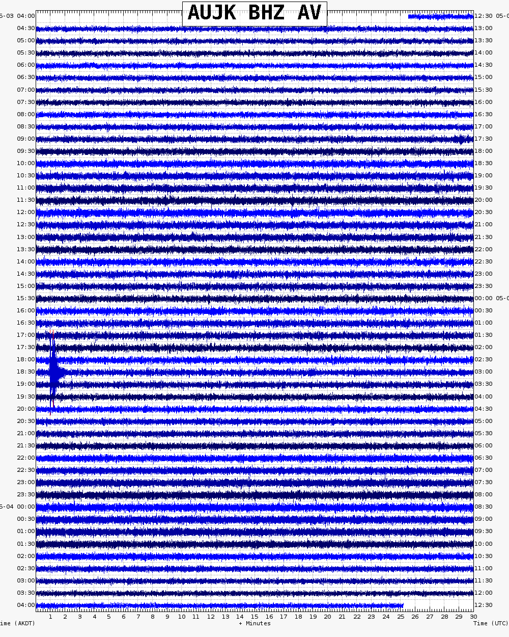
Webicorder

Geodesy Sensors

Color Code Timeline

Ashfall and ash cloud forecasts: Model output

Reported Activity

Modern Eruptions

52 Event Date(s)

Past Activity Legend:
Eruption
Questionable eruption
Non-eruptive activity


Loading Images...

Map Images


Map References


Recently active volcanoes of Alaska, 2023

Cameron, C.E., Bull, K.F., and Macpherson, A.E., 2023, Recently active volcanoes of Alaska: Alaska Division of Geological & Geophysical Surveys Miscellaneous Publication 133 v. 6, 2 sheets. https://doi.org/10.14509/31086.

Tephra occurrence in Alaska: a map-based compilation of stratigraphic tephra data, 2018

Worden, A.K., Schaefer, J.R., and Mulliken, K.M., 2018, Tephra occurrence in Alaska: a map-based compilation of stratigraphic tephra data: Alaska Division of Geological and Geophysical Surveys Miscellaneous Publication 165, 19 p., http://doi.org/10.14509/30059

Historically active volcanoes of Alaska, v. 3, 2018

Cameron, C.E., Schaefer, J.R., and Mulliken, K.M., 2018, Historically active volcanoes of Alaska: Alaska Division of Geological & Geophysical Surveys Miscellaneous Publication 133 v. 3, 2 sheets. Http://doi.org/10.14509/30142

Historically active volcanoes of Alaska, 2014

Schaefer, J.R., Cameron, C.E., and Nye, C.J., 2014, Historically active volcanoes of Alaska: Alaska Division of Geological & Geophysical Surveys Miscellaneous Publication 133 v. 1.2, 1 sheet, scale 1:3,000,000. This publication has been superseded. Newest version available at http://www.dggs.alaska.gov/pubs/id/20181 .

Database for volcanic processes and geology of Augustine Volcano, Alaska: database for Professional Paper 1762, 2012

McIntire, Jacqueline, Ramsey, D.W., Thoms, Evan, Waitt, R.B., and Begét, J.E., 2012, Database for volcanic processes and geology of Augustine Volcano, Alaska: database for Professional Paper 1762: U.S. Geological Survey Data Series 677. Available at http://pubs.usgs.gov/ds/677/

The 2006 eruption of Augustine Volcano, Alaska, 2010

Power, J.A., Coombs, M.L., and Freymueller, J.T., eds., 2010, The 2006 eruption of Augustine Volcano, Alaska: U.S. Geological Survey Professional Paper 1769, 667 p., 1 plate, scale 1:20,000, and data files. Available online at http://pubs.usgs.gov/pp/1769/ .

Timing, distribution, and volume of proximal products of the 2006 eruption of Augustine Volcano, 2010

Coombs, M.L., Bull, K.F., Vallance, J.W., Schneider, D.J., Thoms, E.E., Wessels, R.L., and McGimsey, R.G., 2010, Timing, distribution, and volume of proximal products of the 2006 Eruption of Augustine Volcano, chapter 8 of Power, J.A., Coombs, M.L., and Freymueller, J.T., eds., The 2006 eruption of Augustine Volcano, Alaska: U.S. Geological Survey Professional Paper 1769, p. 145-185, 1 plate, scale 1:20,000, and GIS data [http://pubs.usgs.gov/pp/1769/chapters/p1769_chapter08].

Preliminary geologic map of the Cook Inlet Region, Alaska - including parts of the Talkeetna, Talkeetna Mountains, Tyonek, Lake Clark, Kenai, Seward, Iliamna, Seldovia, Mount Katmai, and Afognak 1:250,000-scale Quadrangles, 2009

Wilson, F.H., Hults, C.P., Schmoll, H.R., Haeussler, P.J., Schmidt, J.M., Yehle, L.A., and Labay, K.A., compilers; digital files prepared by Wilson, F.H., Hults, C.P., Labay, K.A., and Shew, Nora, 2009, Preliminary geologic map of the Cook Inlet Region, Alaska - including parts of the Talkeetna, Talkeetna Mountains, Tyonek, Lake Clark, Kenai, Seward, Iliamna, Seldovia, Mount Katmai, and Afognak 1:250,000-scale Quadrangles: U.S. Geological Survey Open-File Report 2009-1108, scale 1:250:000, available at http://pubs.usgs.gov/of/2009/1108/ .

Volcanic processes and geology of Augustine Volcano, Alaska, 2009

Waitt, R.B., and Beget, J.E., 2009, Volcanic processes and geology of Augustine Volcano, Alaska: U.S. Geological Survey Professional Paper 1762, 78 p., 2 plates, scale 1:25,000, available at http://pubs.usgs.gov/pp/1762/ .

Historically active volcanoes of the Aleutian Arc, 2002

Schaefer, Janet, and Nye, C. J., 2002, Historically active volcanoes of the Aleutian Arc: Alaska Division of Geological & Geophysical Surveys Miscellaneous Publication MP 0123, unpaged, 1 sheet, scale 1:3,000,000. Superceded by Miscellaneous Publication 133: http://www.dggs.dnr.state.ak.us/pubs/pubs?reqtype=citation&ID=20181

Volcanoes of Alaska, 1998

Nye, C. J., Queen, Katherine, and McCarthy, A. M., 1998, Volcanoes of Alaska: Alaska Division of Geological & Geophysical Surveys Information Circular IC 0038, unpaged, 1 sheet, scale 1:4,000,000, available at http://www.dggs.dnr.state.ak.us/pubs/pubs?reqtype=citation&ID=7043 .
Hard Copy held by AVO at FBKS - CEC shelf

Preliminary volcano-hazard assessment for Augustine Volcano, Alaska, 1998

Waythomas, C. F., and Waitt, R. B., 1998, Preliminary volcano-hazard assessment for Augustine Volcano, Alaska: U.S. Geological Survey Open-File Report 98-0106, 39 p., 1 plate, scale unknown.
full-text PDF 2.08 MB
map sheet plate 3.14 MB

Provisional geologic map of Augustine Volcano, Alaska, 1996

Waitt, R. B., and Beget, J. E., 1996, Provisional geologic map of Augustine Volcano, Alaska: U.S. Geological Survey Open-File Report 96-0516, 44 p., 1 plate, scale 1:25,000.
full-text PDF 2.6 MB
map sheet 295 MB!

Catalog and initial analyses of geologic data related to middle and late Quaternary deposits, Cook Inlet region, Alaska, 1996

Reger, R. D., Pinney, D. S., Burke, R. M., and Wiltse, M. A., 1996, Catalog and initial analyses of geologic data related to middle and late Quaternary deposits, Cook Inlet region, Alaska: Alaska Division of Geological & Geophysical Surveys Report of Investigation 95-06, 188 p., 6 sheets, scale 1:250,000.
Hard Copy held by AVO at FBKS - CEC shelf

Volcanoes of Alaska, 1995

Alaska Division of Geological & Geophysical Surveys, 1995, Volcanoes of Alaska: Alaska Division of Geological & Geophysical Surveys Information Circular IC 0038, unpaged, 1 sheet, scale 1:4,000,000.

Aleutian arc volcanoes, 1994

Nye, C. J., 1994, Aleutian arc volcanoes: Alaska Division of Geological & Geophysical Surveys Public-Data File PDF 94-54, unpaged, 1 sheet, scale 1:2,126,841.

This dynamic planet: world map of volcanoes, earthquakes, impact craters, and plate tectonics, 1994

Simkin, Tom, Unger, J. D., Tilling, R. I., Vogt, P. R., and Spall, H. R., 1994, This dynamic planet: world map of volcanoes, earthquakes, impact craters, and plate tectonics: U.S. Geological Survey Special Map unpaged, 1 plate, scale 1:30,000,000.

Geothermal resources of the Aleutian Arc, 1993

Motyka, R. J., Liss, S. A., Nye, C. J., and Moorman, M. A., 1993, Geothermal resources of the Aleutian Arc: Alaska Division of Geological & Geophysical Surveys Professional Report PR 0114, 17 p., 4 sheets, scale 1:1,000,000.
Hard Copy held by AVO at FBKS - CEC shelf

Holocene volcanoes of the Aleutian Arc, Alaska, 1993

March, G. D., 1993, Holocene volcanoes of the Aleutian Arc, Alaska: Alaska Division of Geological & Geophysical Surveys Public-Data File PDF 93-85, unpaged, 1 sheet, scale 1:2,000,000.

Map showing distribution, composition, and age of Late Cenozoic volcanic centers in Alaska, 1986

Luedke, R. G., and Smith, R. L., 1986, Map showing distribution, composition, and age of Late Cenozoic volcanic centers in Alaska: U.S. Geological Survey Miscellaneous Investigations Series Map I 1091-F, unpaged, 3 sheets, scale 1:1,000,000.

Volcanic hazards from future eruptions of Augustine Volcano, Alaska, 1980

Kienle, Juergen, and Swanson, S. E., 1980, Volcanic hazards from future eruptions of Augustine Volcano, Alaska: University of Alaska Fairbanks Geophysical Institute Report UAG-R 275, Fairbanks, AK, University of Alaska, 122 p., 1 sheet, scale unknown.

Geologic map of Alaska, 1980

Beikman, H. M., 1980, Geologic map of Alaska: U.S. Geological Survey Professional Paper PP 0171, unpaged, 1 plate, scale 1:2,500,000.

Volatiles, magma mixing, and the mechanism of eruption at Augustine volcano, Alaska, 1978

Johnston, D. A., 1978, Volatiles, magma mixing, and the mechanism of eruption at Augustine volcano, Alaska: University of Washington Ph.D. dissertation, 187 p., 20 plates, scale unknown.

Geologic map of south Augustine Island, Lower Cook Inlet, Alaska, 1976

Buffler, R. T., 1976, Geologic map of south Augustine Island, Lower Cook Inlet, Alaska: Alaska Division of Geological & Geophysical Surveys Open-File Report AOF 0096, 3 p., 3 sheets, scale 1:24,000.
Hard Copy held by AVO at FBKS - CEC shelf

Geologic map of the Iliamna B-2 Quadrangle, Augustine Island, Alaska, 1973

Detterman, R. L., 1973, Geologic map of the Iliamna B-2 Quadrangle, Augustine Island, Alaska: U.S. Geological Survey Geological Quadrangle Map GQ 1068, 4 p., 1 sheet, scale 1:63,360.

Geology of the Iliamna quadrangle, Alaska, 1968

Detterman, R. L., and Reed, B. L., 1968, Geology of the Iliamna quadrangle, Alaska: U.S. Geological Survey Open-File Report 68-0072, unpaged, 2 plates, scale 1:250,000.

Preliminary map of the geology of the Iliamna quadrangle, Alaska, 1964

Detterman, R. L., and Reed, B. L., 1964, Preliminary map of the geology of the Iliamna quadrangle, Alaska: U.S. Geological Survey Miscellaneous Investigations Series Map I 0407, unpaged, 1 sheet, scale 1:250,000.

Volcanic activity in the Aleutian Arc, 1950

Coats, R. R., 1950, Volcanic activity in the Aleutian Arc: U.S. Geological Survey Bulletin 0974-B, p. 35-49, 1 sheet, scale 1:5,000,000.
plate 1 PDF 819 KB
full-text PDF 783 KB
Hard Copy held by AVO at FBKS - CEC shelf

Reconnaissance of the gold fields of southern Alaska with some notes on general geology, 1898

Becker, G. F., 1898, Reconnaissance of the gold fields of southern Alaska with some notes on general geology: U.S. Geological Survey Annual Report 0018, p. 1-86, 6 sheets, scale unknown.
full-text PDF 1.5 MB
Hard Copy held by AVO at FBKS - CEC file cabinet

Loading Bibliography...