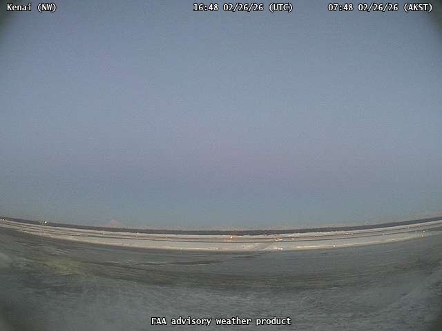
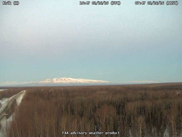
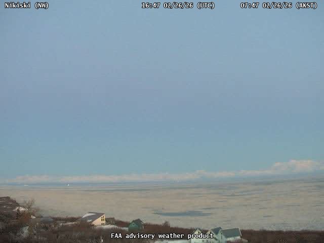
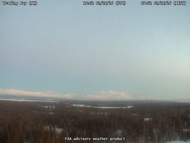
Spurr
Facts
- Official Name: Mount Spurr
- Seismically Monitored: Yes
- Color Code: YELLOW
- Alert Level: ADVISORY
- Elevation: 3374m (11069ft)
- Latitude: 61.2989
- Longitude: -152.2539
- Smithsonian VNum: 313040
- Pronunciation:
-
Nearby Towns:
- Beluga 37 mi (60 km) SE
- Tyonek 40 mi (65 km) SE
- Nikiski 51 mi (81 km) SE
- Susitna 55 mi (89 km) NE
- Salamatof 56 mi (90 km) SE
Distance from Anchorage: 78 mi (126 km)
-
Subfeatures:
- Crater Peak
Description
General physical description:
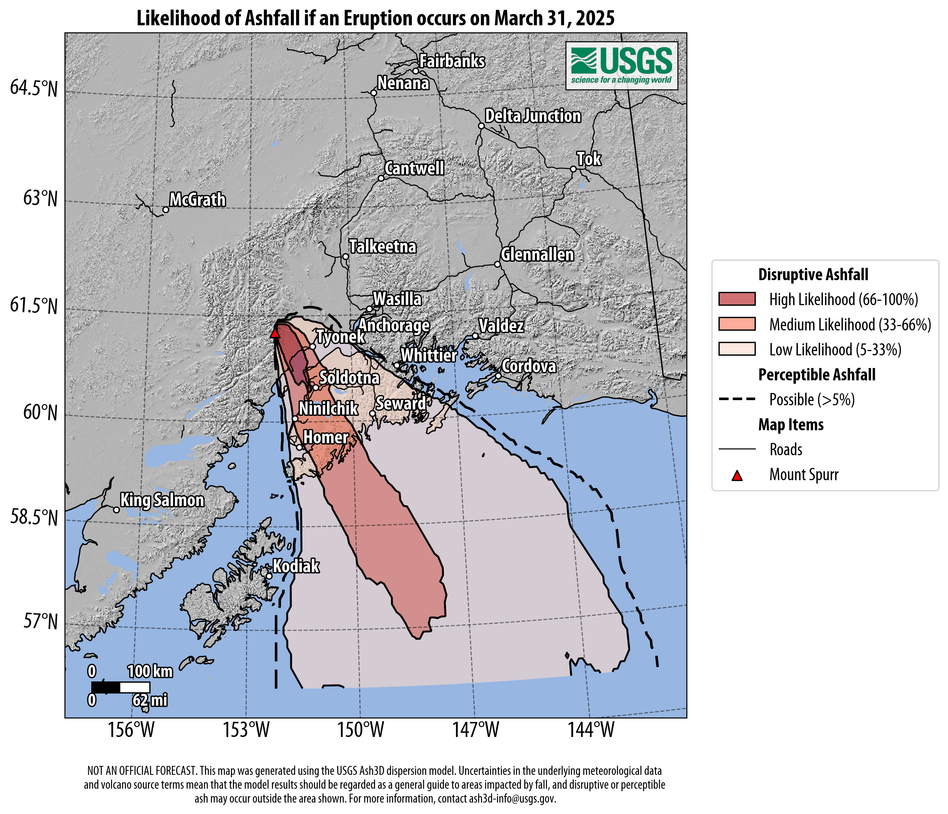
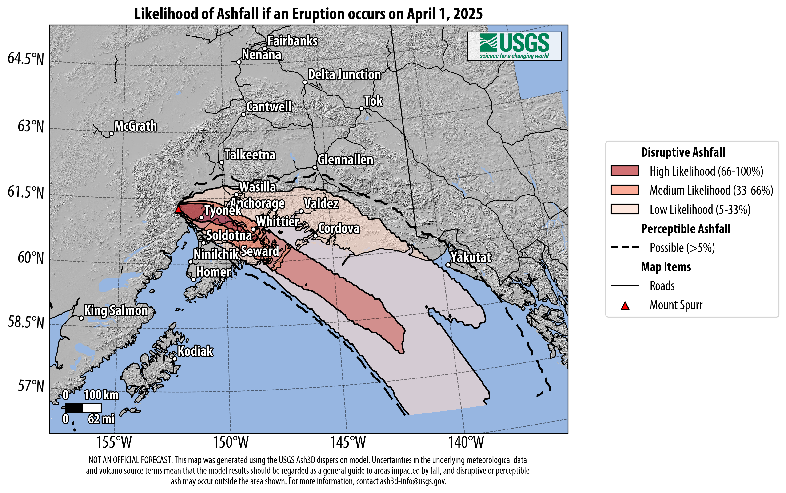
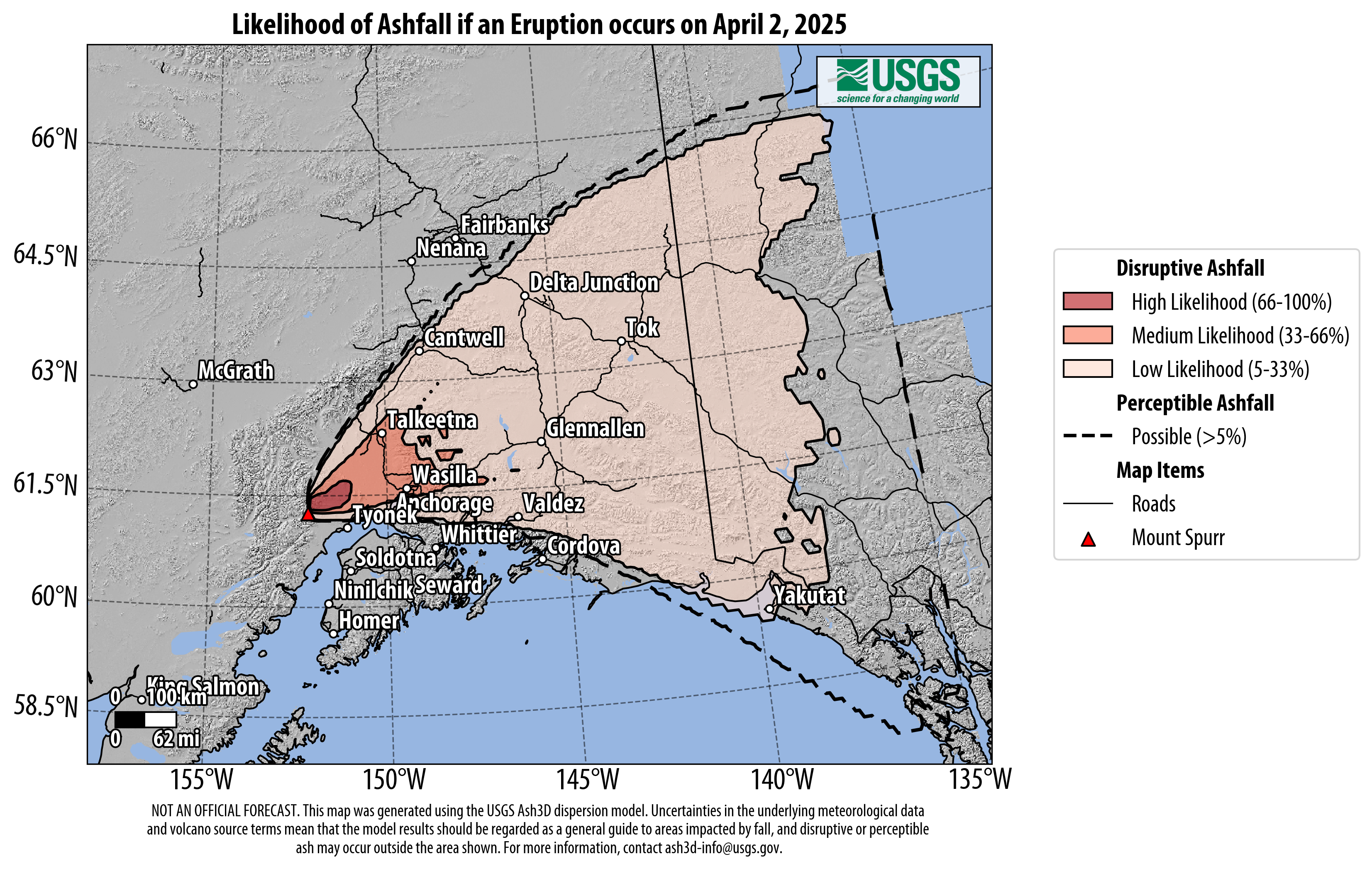
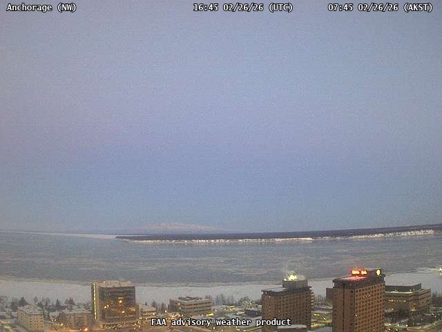
Mount Spurr is a prominent member of the Cook Inlet volcanoes and is clearly visible from Anchorage on sunny days. The dramatic edifice is made up of several volcanic features. The ancestral Mount Spurr was a large volcano that catastrophically collapsed in early Holocene (post-glacial) time [1] , leaving behind a three-mile-wide caldera with a southeasterly facing breach and a spectacular debris-avalanche deposit in the Chakachatna River valley [1] . Since the collapse, two separate vents have built up their own edifices atop the remains of ancestral Spurr. The current Mount Spurr is a roughly conical lava dome complex [2] (summit elevation 11,070 ft/3,374 m) that rises several thousand feet above the caldera. Crater Peak, the second and more recently active vent, is a stratocone that has grown at the margin of the caldera, within the breach, and has a summit elevation of 7,575 ft (2,309 m) [1] . Mount Spurr and the surrounding caldera are deeply mantled by spectacular glaciers, with fifteen times the ice volume found on Mount Rainier [1] . Crater Peak has erupted explosively twice in the last century [1] and Mount Spurr exhibited a dramatic “ice cauldron” hydrothermal event from 2004 to 2006 [3] . Any future eruption of Mount Spurr or Crater Peak would likely be severely disruptive to Anchorage and the surrounding areas.
Location:
Mount Spurr is the secondmost northeasterly volcano in the Aleutian volcanic arc. It is found at the southernmost end of the Tordrillo Mountains, which are south of the Alaska Range and to the northwest of Cook Inlet [1] . It is bordered to the south by the Chakachatna River valley and to the southwest by the river’s headwaters, Chakachamna Lake, which is partially dammed by Barrier Glacier flowing out of the Tordrillo Mountains [1] . Mount Spurr is 78 miles (126 kilometers) northwest of Anchorage, and the closest community is Beluga, 37 mi (60 km) to the southeast. It is 56 mi (90 km) south of Mount Hayes and 58 mi (93 km) northeast of Redoubt Volcano.
Notable eruptions:
Mount Spurr is notable for several major eruptions and periods of unrest that have occurred in the past 100 years. Crater Peak, the southern vent of Spurr volcano, erupted explosively in 1953 and 1992 [1] . Prior to the 1953 eruption, nearby Alaska residents had sometimes noted steam rising from the peak, which occurred more frequently in late spring 1953 [4] . On July 9, a single powerful explosion about an hour long created a 30,000 ft (10,000 m) high eruption plume [1] . An Air Force jet reported that it flew into the ash cloud for just a moment, but emerged with sandblasted paint and a frosted windscreen [5] , an early example of the dangers of aircraft encounters with volcanic ash. About a quarter inch (6 mm) of ash fell in Anchorage, 78 mi (126 km) away, shutting down Ted Stevens International Airport for two days, and ashfall was reported as far away as Valdez [1] . The eruption also caused pyroclastic flows that mixed with snow and ice and heavy local rainfall to create lahars that temporarily dammed the Chakachatna River [1] .
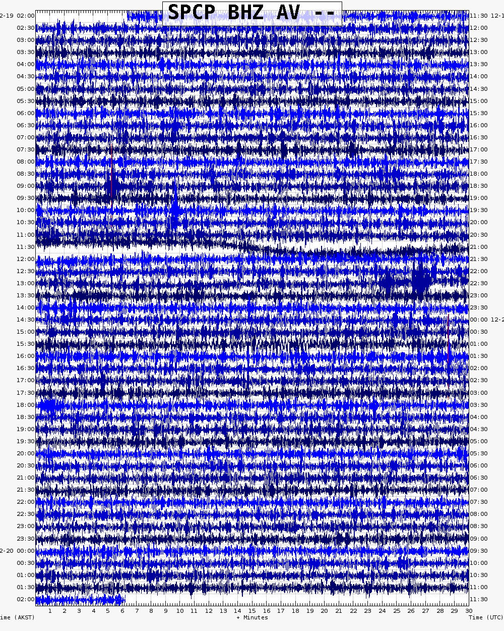
Seismic monitoring of Mount Spurr began in 1971. Starting in August 1991, increased seismicity was noted beneath Crater Peak. Between November 1991 and June 1992 seismicity increased further beneath the entire Spurr edifice. In mid-June 1992, seismicity increased still further [6] and the small crater lake within Crater Peak rapidly changed color and heated to boiling. The eruption began at 7:04 am June 27 following almost 19 hours of vigorous volcanic tremor and a shallow earthquake swarm under Crater Peak and was quickly reported by a passing Alaska Airlines pilot [7] . This time the eruption plume, which reached 47,500 ft (14,500 m), was blown to the north and 0.04-0.08 in (1-2 mm) of ash fell in Denali National Park. Once again, pyroclastic flows occurred and mixed with snow, ice, and water to form lahars that dammed the Chakachatna. Two more major explosions occurred at Crater Peak on August 18 and September 16-17. Winds carried ash from the August 18 eruption to the east, depositing as much as 0.12 in (3 mm) of ash in Anchorage that closed the Anchorage airport for 20 hours. Ash from the September 16-17 explosion moved in a more northeasterly direction and heavily impacted populated areas in the Matanuska and Susitna valleys [7] .
In 2004, unusual activity was noted at the summit of Mount Spurr, which until then had been thought to be much less likely to erupt than Crater Peak [1] . Several muddy debris flows appeared on the summit’s ice-covered flanks, and snow and ice at the summit melted and collapsed inward to create an “ice cauldron,” a heated crater lake that grew by melting the summit ice from below [2] . The ice cauldron continued to grow for over two years and featured dramatic boiling jets and fumaroles (one dubbed “Jumbo Jet”) before cooling in 2006 and becoming snow covered once again [3] . Addition of new seismic instruments allowed scientists to determine that magma was actually closer to the surface below Mount Spurr summit than below Crater Peak during this period [8] . Earthquake swarms have since occurred in 2012 and 2014-2017, though no eruption has yet followed [9] , [10] , [11] , [12] , [13] .
Several prehistoric eruptions from both vents of Mount Spurr are recorded in ash or tephra layers found in Alaska.
Special hazard info:
Mount Spurr (including Crater Peak) is listed as “very high threat” by the most recent edition of the USGS National Volcanic Threat Assessment [14] . This is because it has erupted frequently in recent history and has shown signs of unrest since its most recent eruption. It is near a large international airport with a high daily passenger volume and would likely disrupt air travel for some time in any future eruption and cut off air access to interior Alaska [14] . Because Mount Spurr is covered with an enormous volume of glacial ice, future eruptions are very likely to cause significant lahars, as happened in 1953 and 1992 [1] . If a lahar dammed the Chakachatna River, the river could back up to Chakachamna Lake and even “float” the ice dam there created by Barrier Glacier, which would likely lead to a very large flood that could reach Cook Inlet. As there are no permanent structures within the Chakachatna valley, this would luckily pose minor risk to people [1] .
Name Origin
A.H. Brooks named Mount Spurr in 1900, for Josiah Edward Spurr, a U.S. Geological Survey geologist who led an expedition in the area in 1898 (Orth, 1971).
References Cited
[1] Preliminary volcano-hazard assessment for Mount Spurr Volcano, Alaska, 2002
Waythomas, C. F., and Nye, C. J., 2002, Preliminary volcano-hazard assessment for Mount Spurr Volcano, Alaska: U.S. Geological Survey Open-File Report 01-0482, 46 p.[2] Geothermal disruption of summit glaciers at Mount Spurr Volcano, 2004-6: an unusual manifestation of volcanic unrest, 2006
Coombs, M.L., Neal, C.A., Wessels, R.L., and McGimsey, R.G., 2006, Geothermal disruption of summit glaciers at Mount Spurr Volcano, 2004-6: an unusual manifestation of volcanic unrest: U.S. Geological Survey Professional Paper 1732-B, 33 p., available at http://pubs.usgs.gov/pp/pp1732/pp1732b/index.html .[3] 2006 Volcanic activity in Alaska, Kamchatka, and the Kurile Islands: Summary of events and response of the Alaska Volcano Observatory, 2009
Neal, C.A., McGimsey, R.G., Dixon, J.P., Manevich, Alexander, and Rybin, Alexander, 2009, 2006 Volcanic activity in Alaska, Kamchatka, and the Kurile Islands: Summary of events and response of the Alaska Volcano Observatory: U.S. Geological Survey Scientific Investigations Report 2008-5214, 102 p., available at http://pubs.usgs.gov/sir/2008/5214/ .[4] The Mt. Spurr eruption, July 9, 1953, 1955
Juhle, R. W., and Coulter, H. W., 1955, The Mt. Spurr eruption, July 9, 1953: Eos, v. 36, n. 2, p. 199-202.[5] Encounters of aircraft with volcanic ash clouds: a compilation of known incidents, 1953-2009, 2010
Guffanti, Marianne, Casadevall, T.J., and Budding, Karin, 2010, Encounters of aircraft with volcanic ash clouds: A compilation of known incidents, 1953-2009: U.S. Geological Data Series 545, ver. 1.0, 12 p., plus 4 appendixes including the compliation database, available only at http://pubs.usgs.gov/ds/545 .[6] Seismicity and forecasting of the 1992 eruptions of Crater Peak Vent, Mount Spurr volcano, Alaska: an overview, 1995
Power, J. A., Jolly, A. D., Page, R. A., and McNutt, S. R., 1995, Seismicity and forecasting of the 1992 eruptions of Crater Peak Vent, Mount Spurr volcano, Alaska: an overview: in Keith, T. E. C., (ed.), The 1992 eruptions of Crater Peak Vent, Mount Spurr volcano, Alaska, U.S. Geological Survey Bulletin 2139, p. 149-159.[7] The 1992 eruptions of Crater Peak Vent, Mount Spurr volcano, Alaska: chronology and summary, 1995
Eichelberger, J. C., Keith, T. E. C., Miller, T. P., and Nye, C. J., 1995, The 1992 eruptions of Crater Peak Vent, Mount Spurr volcano, Alaska: chronology and summary: in Keith, T. E. C., (ed.), The 1992 eruptions of Crater Peak Vent, Mount Spurr volcano, Alaska, U.S. Geological Survey Bulletin 2139, p. 1-18.[8] Fluid ascent during the 2004-2005 unrest at Mt. Spurr inferred from seismic tomography, 2013
Koulakov, I., West, M., and Izbekov, P., 2013, Fluid ascent during the 2004-2005 unrest at Mt. Spurr inferred from seismic tomography: Geophysical Research Letters, v. 40, doi:10.1002/grl.50674 .[9] 2012 Volcanic activity in Alaska: Summary of events and response of the Alaska Volcano Observatory, 2014
Herrick, J.A., Neal, C.A., Cameron, C.E., Dixon, J.P., and McGimsey, R.G., 2014, 2012 Volcanic activity in Alaska: Summary of events and response of the Alaska Volcano Observatory: U.S. Geological Survey Scientific Investigations Report 2014-5160, 82p., http://dx.doi.org/10.3133/sir20145160.[10] 2014 Volcanic activity in Alaska - Summary of events and response of the Alaska Volcano Observatory, 2017
Cameron, C.E., Dixon, J.P., Neal, C.A., Waythomas, C.F., Schaefer, J.R., and McGimsey, R.G., 2017, 2014 Volcanic activity in Alaska - Summary of events and response of the Alaska Volcano Observatory: U.S. Geological Survey Scientific Investigations Report 2017-5077, 81 p., https://doi.org/10.3133/sir20175077.[11] 2015 Volcanic activity in Alaska - Summary of events and response of the Alaska Volcano Observatory, 2017
Dixon, J.P., Cameron, C.E., Iezzi, A.M., and Wallace, Kristi, 2017, 2015 Volcanic activity in Alaska-Summary of events and response of the Alaska Volcano Observatory: U.S. Geological Survey Scientific Investigations Report 2017-5104, 61 p., https://doi.org/10.3133/sir20175104.[12] 2016 Volcanic activity in Alaska - Summary of events and response of the Alaska Volcano Observatory, 2020
Cameron, C.E., Dixon, J.P., Waythomas, C.F., Iezzi, A.M., Wallace, K.L., McGimsey, R.G., and Bull, K.F., 2020, 2016 Volcanic activity in Alaska-Summary of events and response of the Alaska Volcano Observatory: U.S. Geological Survey Scientific Investigations Report 2020-5125, 63 p., https://doi.org/10.3133/sir20205125.[13] 2017 Volcanic activity in Alaska-Summary of events and response of the Alaska Volcano Observatory, 2020
Dixon, J.P., Cameron, C.E., Iezzi, A.M., Power, J.A., Wallace, K., and Waythomas, C.F., 2020, 2017 Volcanic activity in Alaska-Summary of events and response of the Alaska Volcano Observatory: U.S. Geological Survey Scientific Investigations Report 2020-5102, 61 p., https://doi.org/10.3133/sir20205102.[14] 2018 update to the U.S. Geological Survey national volcanic threat assessment, 2018
Ewert, J.W., Diefenbach, A.K., and Ramsey, D.W., 2018, 2018 update to the U.S. Geological Survey national volcanic threat assessment: U.S. Geological Survey Scientific Investigations Report 2018-5140, 40 p., https://pubs.usgs.gov/sir/2018/5140/sir20185140.pdf.Current Activity
January 10, 2025, 1:20 pmAVO continues to closely monitor activity at Mount Spurr for signals that would indicate that the volcano is moving closer to an eruption using local seismic, infrasound, web camera, and GNSS stations along with regional infrasound, lightning networks and satellite data. Based on previous eruptions, additional changes in earthquakes, ground deformation, the summit lake, and fumaroles would be expected if magma begins to move closer to the surface. Therefore, it is very likely that if an eruption were to occur it would be preceded by additional signals that would allow advance warning.