Iliamna


Facts


  • Official Name: Iliamna Volcano
  • Seismically Monitored: No
  • Color Code: UNASSIGNED
  • Alert Level: UNASSIGNED
  • Elevation: 3053m (10016ft)
  • Latitude: 60.0319
  • Longitude: -153.0918
  • Smithsonian VNum: 313020
  • Pronunciation:
  • Nearby Towns:
    • Pedro Bay 39 mi (63 km) SW
    • Port Alsworth 44 mi (70 km) NW
    • Anchor Point 47 mi (76 km) SE
    • Happy Valley 47 mi (76 km) SE
    • Ninilchik 49 mi (79 km) NE

    Distance from Anchorage: 136 mi (218 km)

  • Subfeatures:
    • Johnson Glacier
    • South Twin

Description

From Miller and others (1998) [1] : "Iliamna volcano is a broad, deeply dissected and highly altered, roughly cone-shaped mountain at the north end of a 5-km-long ridge trending N10W. Most of the volcano is covered by perennial snow and ice and numerous glaciers radiate from the summit area. Large avalanche deposits occur on the flanks of the volcano, particularly down the Umbrella Glacier on the southwest side of the volcano.
"The volcano is a typical composite stratovolcano composed of interbedded andesite lava flows and pyroclastic rocks. Steep, inaccessible 600-m-high headwalls along the southern and eastern flanks extend nearly to the summit exposing a cross section of the volcanic stratigraphy.
"Iliamna is built on a basement of Jurassic granitic rocks of the Aleutian Range batholith [2] that are juxtaposed against older, Lower Jurassic lava flows and pyroclastic rocks by the Bruin Bay fault, which lies several kilometers east of the summit."

Name Origin

Iliamna Volcano's name was first published by the Russians as "S[opka] Ilymna" (Tebenkov, 1852). This appears to be the volcano called "Volcan de Miranda" by the 1779 Don Ignacio Arteaga expedition, which was probably named in honor of Fernando Bernardo de Quiros y Miranda, the second officer of the vessel La Princesa. The nearby Iliamna Lake, according to G.C. Martin, gets its name from the name of a "mythical great blackfish, supposed to inhabit this lake, which bites holes in the bidarkas of bad natives" (Orth, 1971).


References Cited

[1] Catalog of the historically active volcanoes of Alaska, 1998

Miller, T. P., McGimsey, R. G., Richter, D. H., Riehle, J. R., Nye, C. J., Yount, M. E., and Dumoulin, J. A., 1998, Catalog of the historically active volcanoes of Alaska: U.S. Geological Survey Open-File Report 98-0582, 104 p.

[2] Geology of Iniskin-Tuxedni region, Alaska, 1966

Detterman, R. L., and Hartsock, J. K., 1966, Geology of Iniskin-Tuxedni region, Alaska: U.S. Geological Survey Professional Paper PP 0512, 78 p., 6 sheets, scale 1:63,360, 1:96,000, 1:1,000,000.
full-text PDF 4.6 MB
plate 1 PDF 15 MB
plate 2 PDF 1.7 MB
plate 3 PDF 2.5 MB
plate 4 PDF 376 KB
plate 5 PDF 606 KB
plate 6 PDF 192 KB

Current Activity

April 24, 2025, 12:07 pm

The Iliamna monitoring network is down to a single station due to power issues caused by late winter snowfall. Data are insufficient to establish the state of the volcano. As a result, we are changing the Aviation Color Code and Volcano Alert Level to UNASSIGNED/UNASSIGNED. 

As snowmelt occurs it is likely that the stations will come back online as power recovers. We expect this could occur in the next few weeks. If outages persist we will conduct site visits to assess possible station damage and make repairs. 

The move to UNASSIGNED does not reflect a change in activity at the volcano, but rather a change in AVO’s ability to track volcanic activity. Though AVO’s monitoring is temporarily compromised, the most probable eruption scenario for Iliamna involves several months of intensifying earthquake activity before erupting, and prior to network failure, Iliamna was not showing any signs of unrest. 

However, with current monitoring network health, AVO is unable to provide timely eruption forecasts or quickly confirm or dismiss reports of activity. As with other Unassigned volcanoes, AVO will use satellite data, regional seismic, infrasound and lightning networks, and reports from pilots and ground observers to detect signs of unrest or eruptive activity. These monitoring data may detect ongoing eruptive activity, but AVO will be limited in its ability to identify precursory signals and provide early warning of impending eruptions. 

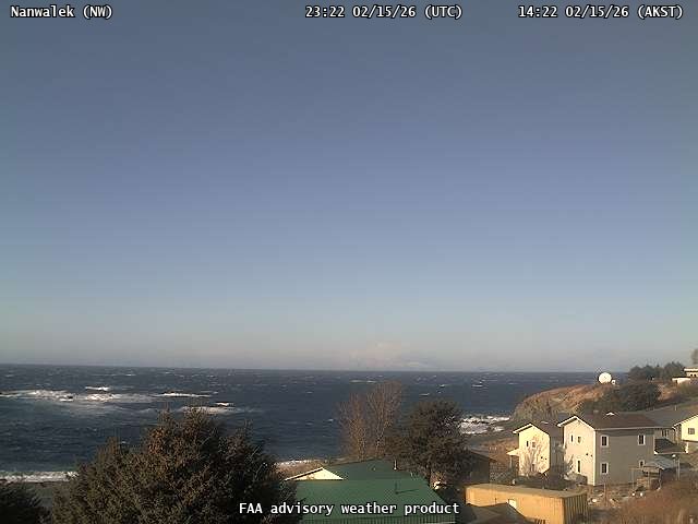
Webcams

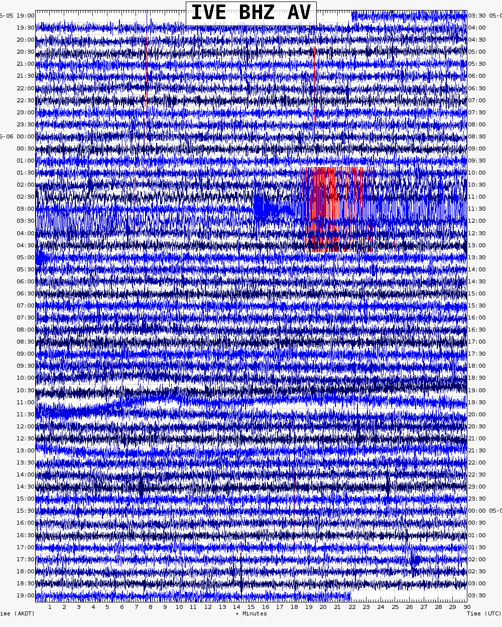
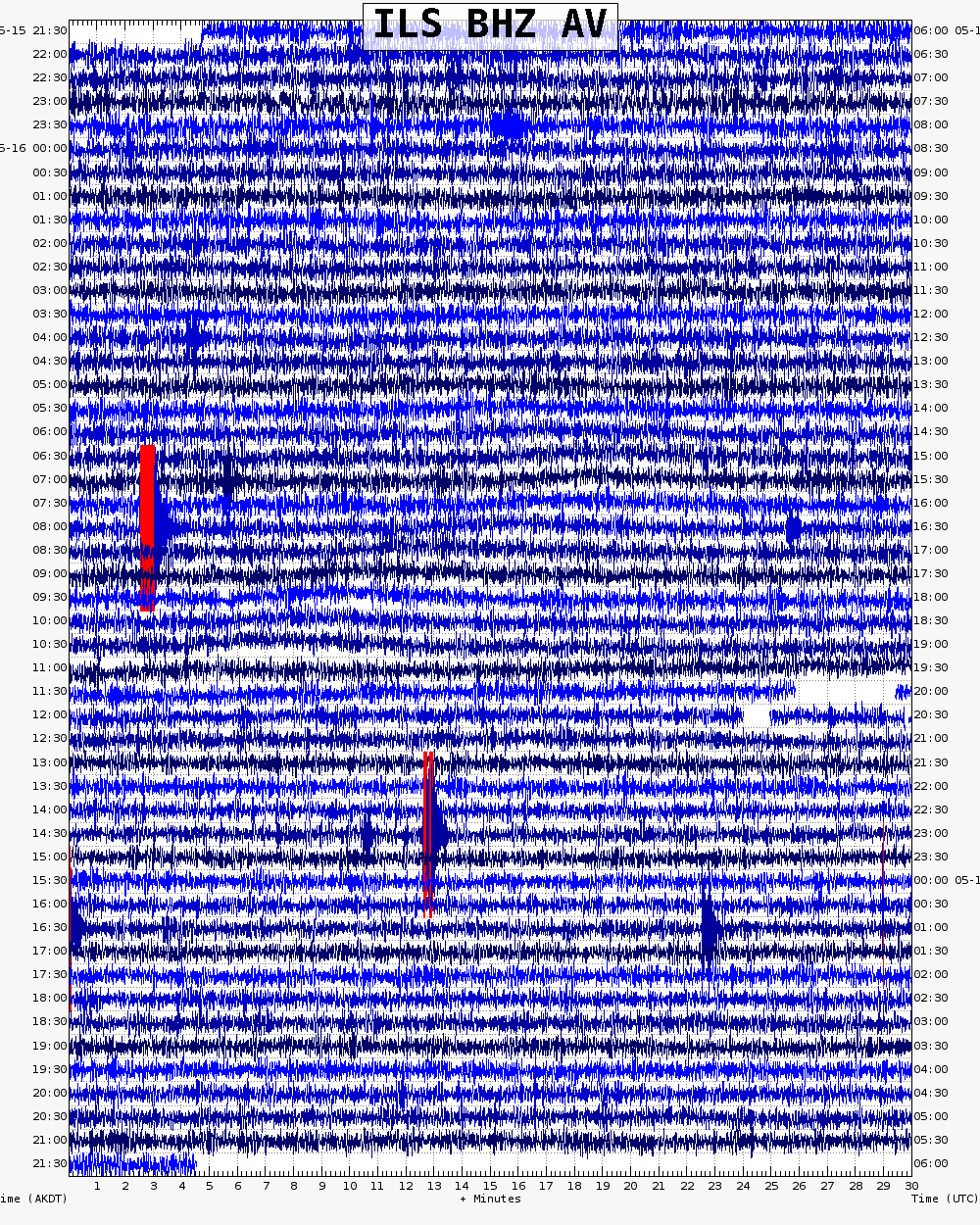
Webicorder

Color Code Timeline

Loading Past Activity...

Loading Images...

Loading Maps...

Loading Bibliography...

Ash Forecasting

Mathematical models developed by the USGS forecast various aspects of how a volcanic ash plume will interact with wind—where, how high, and how fast ash particles will be transported in the atmosphere, as well as where ash will fall out and accumulate on the ground. AVO runs these models when a volcano is restless by assuming a reasonable hypothetical eruption, to provide a pre-eruptive forecast of areas likely to be affected. During an ongoing eruption, AVO will update the forecast with actual observations (eruption start time and duration, plume height) as they become available.

View the current airborne ash cloud models for Iliamna

Ashfall thickness forecast

The Ash3d model was developed by the USGS to forecast how a volcanic ash plume will interact with wind and where ash will fall out and accumulate on the ground. AVO runs these models twice daily when a volcano is restless by assuming a reasonable hypothetical eruption altitude and duration. The map shows the model results of ashfall thickness for areas that are likely to be affected, if one were to occur. During an ongoing eruption, AVO will update the forecast with actual observations (eruption start time and duration, plume height) as they become available, and these plots will be automatically updated. The National Weather Service Anchorage Forecast Office will issue the official ashfall warning product and post them at weather.gov/afc

THESE PRODUCTS MAY NOT BE CURRENT.

During an actual eruption, see National Weather Service forecasts of ashfall:https://weather.gov/afc.
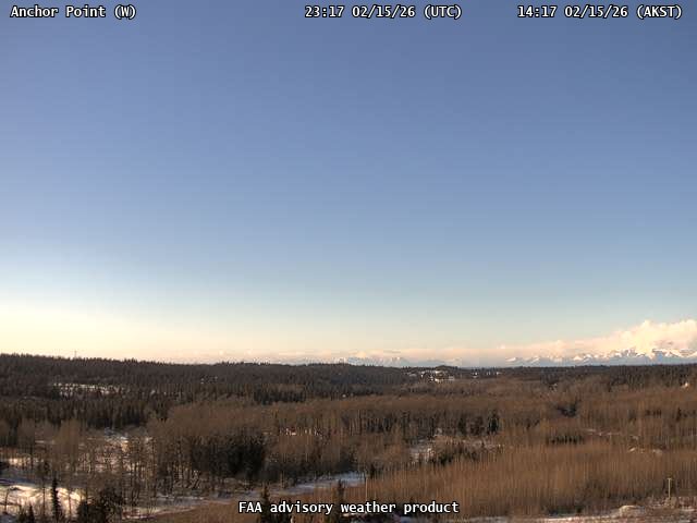
Ashfall Forecast

Click on the X on the graphic (upper right) to expand the map to show the map legend.

Ashfall Start Time

This map shows the modeled estimate of the time it would take for ashfall to begin following an eruption. It corresponds to the ashfall thickness forecast map shown above. This map uses the start time of either the twice-daily hypothetical model runs (time shown in the legend) or the actual eruption start time (if one were to occur). In the case of an actual eruption, the National Weather Service Anchorage Forecast Office will issue the official ashfall warning product that includes the ashfall start time and post them at weather.gov/afc

THESE PRODUCTS MAY NOT BE CURRENT.

During an actual eruption, see National Weather Service forecasts of ashfall:https://weather.gov/afc.

Ashfall Start Times Forecast

Click on the X on the graphic (upper right) to expand the map to show the map legend.