Shishaldin

MarkerMarkerMarkerMarkerMarkerMarkerMarkerMarkerMarkerMarkerMarkerMarkerMarkerMarkerMarkerMarkerMarkerMarkerMarkerMarkerMarkerMarkerMarkerMarkerMarkerMarkerMarkerMarkerMarkerMarkerMarkerMarkerMarkerMarkerMarkerMarkerMarkerMarkerMarkerMarkerMarkerMarkerMarkerMarkerMarkerMarkerMarkerMarkerMarkerMarkerMarkerMarkerMarkerMarkerMarkerMarkerMarkerMarkerMarkerMarkerMarkerMarkerMarkerMarkerMarkerMarkerMarkerMarkerMarkerMarkerMarkerMarkerMarkerMarkerMarkerMarkerMarkerMarkerMarkerMarkerMarkerMarkerMarkerMarkerMarkerMarkerMarkerMarkerMarkerMarkerMarkerMarkerMarkerMarkerMarkerMarkerMarkerMarkerMarkerMarkerMarkerMarkerMarkerMarkerMarkerMarkerMarkerMarkerMarkerMarkerMarkerMarkerMarkerMarkerMarkerMarkerMarkerMarkerMarkerMarkerMarkerMarkerMarkerMarkerMarkerMarkerMarkerMarkerMarkerMarkerMarkerMarkerMarkerMarkerMarkerMarkerMarkerMarkerMarkerMarkerMarkerMarkerMarkerMarkerMarkerMarkerMarkerMarkerMarkerMarkerMarkerMarkerMarkerMarkerMarkerMarkerMarkerMarkerMarkerMarkerMarkerMarkerMarkerMarkerMarkerMarkerMarkerMarkerMarkerMarkerMarkerMarkerMarkerMarkerMarkerMarkerMarkerMarkerMarkerMarkerMarkerMarkerMarkerMarkerMarkerMarkerMarkerMarkerMarkerMarkerMarkerMarkerMarkerMarkerMarkerMarkerMarkerMarkerMarkerMarkerMarkerMarkerMarkerMarkerMarkerMarkerMarkerMarkerMarkerMarkerMarkerMarker
2
Legend
Red (Warning)
Orange (Watch)
Yellow (Advisory)
Green (Normal)
Uninstrumented
Community
Webcam
Instrument
Earthquake Magnitude
0 7+
Earthquake Age
Last 2 Hours
Last 2 Days
Last 1 Week


Facts


  • Official Name: Shishaldin Volcano
  • Seismically Monitored: Yes
  • Color Code: GREEN
  • Alert Level: NORMAL
  • Elevation: 2857m (9373ft)
  • Latitude: 54.7554
  • Longitude: -163.9711
  • Smithsonian VNum: 311360
  • Pronunciation:
  • Nearby Towns:
    • False Pass 23 mi (38 km) NE
    • Pauloff Harbor 55 mi (88 km) SE
    • Cold Bay 58 mi (93 km) NE
    • King Cove 69 mi (111 km) NE
    • Belkofski 80 mi (129 km) NE

    Distance from Anchorage: 679 mi (1093 km)

Description

From Miller and others (1998) [1] : "Shishaldin Volcano, located near the center of Unimak Island, is a spectacular symmetrical cone about 16 km in diameter at the base. The mountain, which rises to a summit 2857 m above sea level, is the highest peak in the Aleutian Islands and has a small summit crater from which a steady cloud of steam is emitted. The upper 2000 m is almost entirely covered by perennial snow and ice. It is flanked to the northwest by 24 monogenetic parasitic cones [2] . The Shishaldin cone is less than 10,000 year old and is constructed on a glacially eroded remnant of an ancestral soma and shield [2] , which in turn are underlain by volcaniclastic rocks of probable late Tertiary age [3] . Fournelle (1988) [2] suggests that the basement may consist, at least in part, of plutonic rocks."

Name Origin

Tebenkov (1852) named this volcano "So[pka] Shishaldinskaya," which was later transliterated to "Shishaldin Volcano." G.A. Sarichev reported its Unangam Tunuu name as "Agajedan (Grewingk, 1850). Wagner (1937) wrote that it was named Volcan de Fernandez, by Martinez (Orth, 1971).


References Cited

[1] Catalog of the historically active volcanoes of Alaska, 1998

Miller, T. P., McGimsey, R. G., Richter, D. H., Riehle, J. R., Nye, C. J., Yount, M. E., and Dumoulin, J. A., 1998, Catalog of the historically active volcanoes of Alaska: U.S. Geological Survey Open-File Report 98-0582, 104 p.

[2] Geology and petrology of Shishaldin volcano, Unimak Island, Aleutian Arc, Alaska, 1988

Fournelle, J. H., 1988, Geology and petrology of Shishaldin volcano, Unimak Island, Aleutian Arc, Alaska: The Johns Hopkins University Ph.D. dissertation, 507 p., 2 plates, scale unknown.

[3] Reconnaissance geologic map of the Cold Bay and False Pass quadrangles, Alaska, 1978

McLean, H., Engelhardt, C. L., and Howell, D. G., 1978, Reconnaissance geologic map of the Cold Bay and False Pass quadrangles, Alaska: U.S. Geological Survey Open-File Report 78-0323, unpaged, 1 plate.

Current Activity

No new updates for Shishaldin volcano since August 30, 2024, 11:02 am.

Webcams

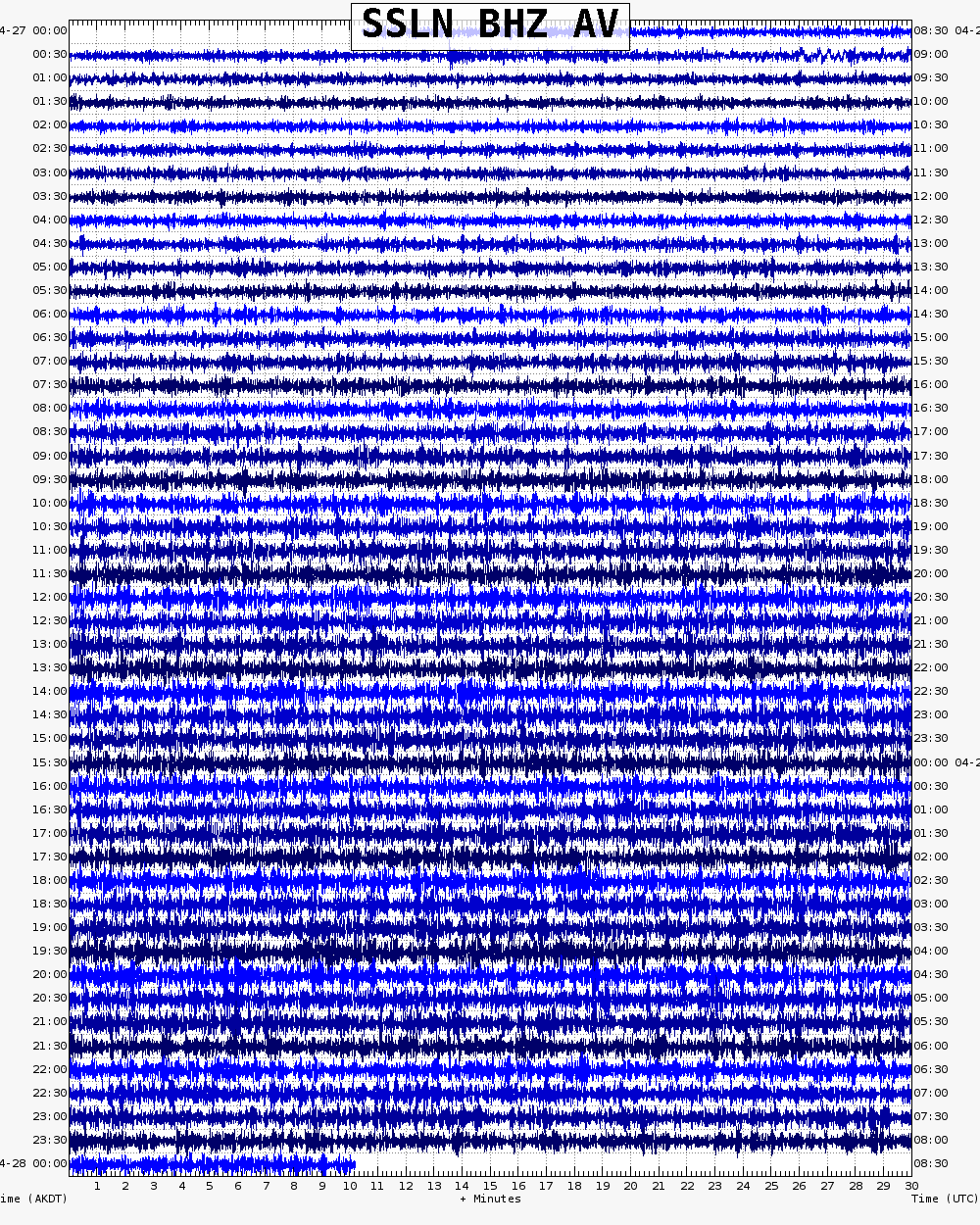
Webicorder

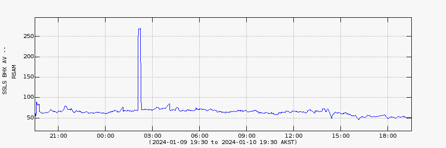
RSAM

Color Code Timeline

Reported Activity

Modern Eruptions

69 Event Date(s)

Past Activity Legend:
Eruption
Questionable eruption
Non-eruptive activity


Loading Images...

Loading Maps...

Loading Bibliography...

Ash Forecasting

Mathematical models developed by the USGS forecast various aspects of how a volcanic ash plume will interact with wind—where, how high, and how fast ash particles will be transported in the atmosphere, as well as where ash will fall out and accumulate on the ground. AVO runs these models when a volcano is restless by assuming a reasonable hypothetical eruption, to provide a pre-eruptive forecast of areas likely to be affected. During an ongoing eruption, AVO will update the forecast with actual observations (eruption start time and duration, plume height) as they become available.

View the current airborne ash cloud models for Shishaldin

Ashfall thickness forecast

The Ash3d model was developed by the USGS to forecast how a volcanic ash plume will interact with wind and where ash will fall out and accumulate on the ground. AVO runs these models twice daily when a volcano is restless by assuming a reasonable hypothetical eruption altitude and duration. The map shows the model results of ashfall thickness for areas that are likely to be affected, if one were to occur. During an ongoing eruption, AVO will update the forecast with actual observations (eruption start time and duration, plume height) as they become available, and these plots will be automatically updated. The National Weather Service Anchorage Forecast Office will issue the official ashfall warning product and post them at weather.gov/afc

THESE PRODUCTS MAY NOT BE CURRENT.

During an actual eruption, see National Weather Service forecasts of ashfall:https://weather.gov/afc.

Ashfall Forecast

Click on the X on the graphic (upper right) to expand the map to show the map legend.

Ashfall Start Time

This map shows the modeled estimate of the time it would take for ashfall to begin following an eruption. It corresponds to the ashfall thickness forecast map shown above. This map uses the start time of either the twice-daily hypothetical model runs (time shown in the legend) or the actual eruption start time (if one were to occur). In the case of an actual eruption, the National Weather Service Anchorage Forecast Office will issue the official ashfall warning product that includes the ashfall start time and post them at weather.gov/afc

THESE PRODUCTS MAY NOT BE CURRENT.

During an actual eruption, see National Weather Service forecasts of ashfall:https://weather.gov/afc.

Ashfall Start Times Forecast

Click on the X on the graphic (upper right) to expand the map to show the map legend.
×