Makushin


Facts


  • Official Name: Makushin Volcano
  • Seismically Monitored: Yes
  • Color Code: GREEN
  • Alert Level: NORMAL
  • Elevation: 1800m (5905ft)
  • Latitude: 53.88707
  • Longitude: -166.93202
  • Smithsonian VNum: 311310
  • Pronunciation:
  • Nearby Towns:
    • Unalaska 16 mi (26 km) SE
    • Akutan 50 mi (81 km) NE
    • Nikolski 103 mi (166 km) SW
    • False Pass 157 mi (252 km) NE
    • Pauloff Harbor 176 mi (283 km) NE

    Distance from Anchorage: 805 mi (1296 km)

  • Subfeatures:
    • Red Cinder Dome
    • Pakushin cone
    • Sugarloaf
    • Point Kadin vents

Description

From Miller and others (1998) [1] : "Makushin volcano is a broad, truncated stratovolcano, 1800 m high and 16 km in basal diameter, which occupies most of the triangular northwest extension of Unalaska Island. A breached summit caldera, about 3 km across, contains a small cinder cone, eroded remnants of other cones, and several fumaroles. The volcano is capped by an icefield of about 40 square km; subsidiary glaciers descend the larger flanking valleys to elevations as low as 305 m.
"Makushin volcano was constructed during two periods of volcanism separated by an interval of pronounced erosion [2] . Bedrock is exposed as high as 975 m on the southeast flank of the volcano. The first episode began in Pliocene or early Pleistocene time (the oldest known age of lavas is 0.93 Ma [Nye, 1990, in Wood and Kienle, 1990 [3] ]) and produced extensive flows and subordinate pyroclastic deposits of basaltic and andesitic composition, which enlarged the island by several kilometers along the northwest coast. Radial dips of flows suggest that Makushin Volcano itself was the principal vent area. The older flows are extensively glaciated, which implies a minimum age of late Pleistocene. The summit of Makushin subsequently collapsed, forming a caldera. Andesitic pyroclastic-flow and debris flow deposits occur in glaciated valleys on the north and south sides of the volcano indicating a Holocene age for the caldera-forming eruption [4] . Reeder (1983) [5] reported a C14 age determination of 7950 +/- 90 ypb on organic soil directly beneath the pyroclastic flow deposits and Nye and others (1984) [6] report a limiting C14 age of 4280 +/- 280 ybp on organic material in a debris flow.
"Several monogenetic satellite vents composed of basaltic and andesitic lava flows, ash, and scoria cones occur within the summit caldera. These vents also form smaller cones on Makushin's flanks and surrounding area. Most of these vents have been slightly glaciated but blanket late Pleistocene topography indicating a latest Pleistocene or early Holocene age. Pakushin cone, a multiple-cratered composite cone, lies 8 km southwest of Makushin Volcano. Tabletop Mountain, the eroded remains of a pyroclastic cone encircled by flows originating from small flank vents, is 20 km northeast. Wide Bay cone, a small symmetric cone with an oval summit crater, occupies the northwest edge of Unalaska Bay, and Sugarloaf cone, built of steeply dipping, crudely bedded pyroclastics, is situated 14 km to the southwest. The Point Kadin vents, 10 small cones and explosion craters aligned along a rift zone trending N75W from the summit caldera, lie just south of an ash-flow deposit which fills a valley extending north from the volcano to the coast. The deposit is relatively undissected and may correlate with a blanket of airfall ash and cinders that covers part of the icefield on the volcano's northern flank. Based on geomorphic analysis, Arce (1983) [7] infers that the sequence of Holocene events to have been as follows: construction of Sugarloaf cone, activity at Tabletop Mountain, construction of Makushin cone, and lastly, construction of the Wide Bay cone and activity on the Pt. Kadin vents.
"Arce (1983) [7] concludes that at least 15 tephra layers of Holocene age are recognizable on northern Unalaska Island; however, he assigns some to satellite vents of Makushin Volcano and others to more distant sources, so the exact number of deposits attributable to Makushin Volcano is uncertain."

Name Origin

"Makushin Volcano" is a Russian name, probably derived from "makushka," meaning "the crown (of the head)" or "top," and applied to this feature because it is the highest point on Unalaska Island. Sarichev called this volcano "Ognedyashushchaya Gora," meaning "burning mountain", and also "Ayyagyh." Reverend Coxe (1787) wrote "there is a burning mountain here called 'Ayagish.'" (Orth, 1971).


References Cited

[1] Catalog of the historically active volcanoes of Alaska, 1998

Miller, T. P., McGimsey, R. G., Richter, D. H., Riehle, J. R., Nye, C. J., Yount, M. E., and Dumoulin, J. A., 1998, Catalog of the historically active volcanoes of Alaska: U.S. Geological Survey Open-File Report 98-0582, 104 p.

[2] Geology of Unalaska Island and adjacent insular shelf, Aleutian Islands, Alaska, 1961

Drewes, Harald, Fraser, G. D., Snyder, G. L., and Barnett, H. F. Jr., 1961, Geology of Unalaska Island and adjacent insular shelf, Aleutian Islands, Alaska: in Investigations of Alaskan volcanoes, U.S. Geological Survey Bulletin 1028-S, p. 583-676, 3 sheets, scale 2 at 1:250,000 and 1 unknown.
full-text PDF 3.3 MB
plate 75 PDF 6.7 MB
plate 76 PDF 113 KB
plate 77 PDF 250 KB
table 1 PDF 326 KB

[3] Volcanoes of North America: United States and Canada, 1990

Wood, C. A., and Kienle, Juergen, (eds.), 1990, Volcanoes of North America: United States and Canada: New York, Cambridge University Press, 354 p.

[4] Late Quaternary caldera-forming eruptions in the eastern Aleutian arc, Alaska, 1987

Miller, T. P., and Smith, R. L., 1987, Late Quaternary caldera-forming eruptions in the eastern Aleutian arc, Alaska: Geology, v. 15, n. 5, p. 434-438.
full-text PDF 2.5 MB

[5] Preliminary dating of the caldera forming Holocene volcanic events for the eastern Aleutian Islands, 1983

Reeder, J.W., 1983, Preliminary dating of the caldera forming Holocene volcanic events for the eastern Aleutian Islands [abs.]: Geological Society of America Abstracts with Programs, v. 15, p. 668.

[6] Geologic map of the Makushin geothermal area, Unalaska Island, Alaska, 1984

Nye, C. J., Queen, L. D., and Motyka, R. J., 1984, Geologic map of the Makushin geothermal area, Unalaska Island, Alaska: Alaska Division of Geological & Geophysical Surveys Report of Investigation 84-3, unpaged, 2 sheets, scale 1:24,000.

[7] Volcanic hazards from Makushin Volcano, northern Unalaska Island, Alaska, 1983

Arce, G. N., 1983, Volcanic hazards from Makushin Volcano, northern Unalaska Island, Alaska: University of Alaska Fairbanks unpublished M.S. thesis, Fairbanks, AK, 142 p., 2 sheets, scale unknown.

Current Activity

No new updates for Makushin volcano since December 15, 2020, 3:59 pm.

Webcams

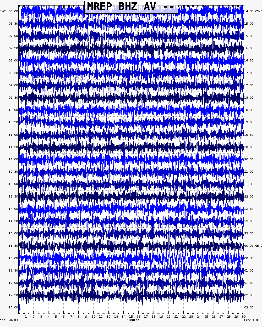
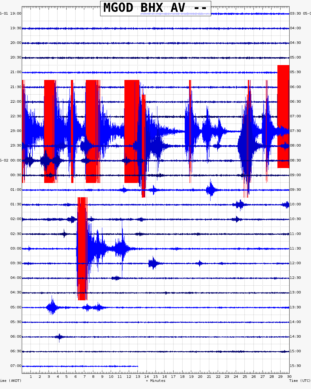
Webicorder

Color Code Timeline

ASHFALL AND ASH CLOUD FORECASTS: MODEL OUTPUT

Loading Past Activity...

Loading Images...

Loading Maps...

Loading Bibliography...