Tanaga


Facts


  • Official Name: Tanaga Volcano
  • Seismically Monitored: Yes
  • Color Code: GREEN
  • Alert Level: NORMAL
  • Elevation: 1806m (5925ft)
  • Latitude: 51.884
  • Longitude: -178.143
  • Smithsonian VNum: 311080
  • Pronunciation:
  • Nearby Towns:
    • Adak 65 mi (104 km) SE
    • Atka 169 mi (272 km) NE
    • Shemya Station 332 mi (535 km) NW
    • Attu Station 370 mi (596 km) NW
    • Nikolski 397 mi (640 km) NE

    Distance from Anchorage: 1240 mi (1995 km)

  • Subfeatures:
    • Sajaka Two
    • East Tanaga

Description

Tanaga Island lies in the Andreanof Islands approximately 100 km (62 miles) west of the community of Adak and 2025 km (1260 miles) SW of Anchorage. The northern half of the island is home to the Tanaga volcanic complex, comprising three main volcanic edifices. Tanaga volcano is the tallest of these (1,806 m or 5,925 ft) and lies in the center of the complex. The last known eruption of Tanaga occurred in 1914 and earlier eruptions were reported in 1763-1770, 1791, and 1829. Reports of these eruptions are vague, but deposits on the flanks of the volcano show that typical eruptions produce blocky lava flows and occasional ash clouds. Eruptions have occurred both from the summit vent and a 1,584 m (5,197 ft)-high satellite vent on the volcano's northeast flank. Immediately west of Tanaga volcano lies Sajaka, a 1,354 m (4,443 ft)-high compound edifice with an older cone to the east that collapsed into the sea within the last few thousand years, and a new cone that has grown in the breach. The new cone is 1,312 m (4,305 ft) high and consists of steeply dipping, interbedded cinders and thin, spatter-fed lava flows. To the east of Tanaga lies Takawangha, which is separated from the other active volcanic vents by a ridge of older rock. Takawangha's 1,449 m (4,754 ft)-high summit is mostly ice-covered, except for four young craters that have erupted ash and lava flows in the last few thousand years. Parts of Takawangha's edifice are hydrothermally altered and may be unstable, and could produce localized debris avalanches. No historical eruptions are known from Sajaka or Takawangha; however, field work shows that recent eruptions have occurred and it is possible that historic eruptions attributed only to Tanaga may instead have come from these other vents.

Name Origin

"Tanaga Volcano" was published in the 1944 Aleutian Coast Pilot (Orth, 1971).


Current Activity

No new updates for Tanaga volcano since January 29, 2024, 2:13 pm.

Webcams

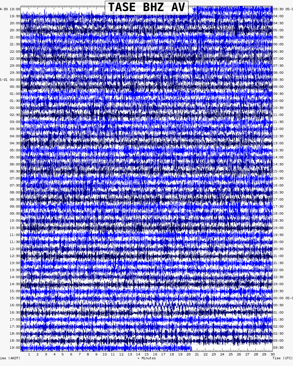
Webicorder

RSAM

Color Code Timeline

Loading Past Activity...

Loading Images...

Loading Maps...

Loading Bibliography...

Ash Forecasting

Mathematical models developed by the USGS forecast various aspects of how a volcanic ash plume will interact with wind—where, how high, and how fast ash particles will be transported in the atmosphere, as well as where ash will fall out and accumulate on the ground. AVO runs these models when a volcano is restless by assuming a reasonable hypothetical eruption, to provide a pre-eruptive forecast of areas likely to be affected. During an ongoing eruption, AVO will update the forecast with actual observations (eruption start time and duration, plume height) as they become available.

View the current airborne ash cloud models for Tanaga

Ashfall thickness forecast

The Ash3d model was developed by the USGS to forecast how a volcanic ash plume will interact with wind and where ash will fall out and accumulate on the ground. AVO runs these models twice daily when a volcano is restless by assuming a reasonable hypothetical eruption altitude and duration. The map shows the model results of ashfall thickness for areas that are likely to be affected, if one were to occur. During an ongoing eruption, AVO will update the forecast with actual observations (eruption start time and duration, plume height) as they become available, and these plots will be automatically updated. The National Weather Service Anchorage Forecast Office will issue the official ashfall warning product and post them at weather.gov/afc

THESE PRODUCTS MAY NOT BE CURRENT.

During an actual eruption, see National Weather Service forecasts of ashfall:https://weather.gov/afc.

Ashfall Forecast

Click on the X on the graphic (upper right) to expand the map to show the map legend.

Ashfall Start Time

This map shows the modeled estimate of the time it would take for ashfall to begin following an eruption. It corresponds to the ashfall thickness forecast map shown above. This map uses the start time of either the twice-daily hypothetical model runs (time shown in the legend) or the actual eruption start time (if one were to occur). In the case of an actual eruption, the National Weather Service Anchorage Forecast Office will issue the official ashfall warning product that includes the ashfall start time and post them at weather.gov/afc

THESE PRODUCTS MAY NOT BE CURRENT.

During an actual eruption, see National Weather Service forecasts of ashfall:https://weather.gov/afc.

Ashfall Start Times Forecast

Click on the X on the graphic (upper right) to expand the map to show the map legend.
×