Wrangell

MarkerMarkerMarkerMarkerMarkerMarkerMarkerMarkerMarkerMarkerMarkerMarkerMarkerMarkerMarkerMarkerMarkerMarkerMarkerMarkerMarkerMarkerMarkerMarkerMarkerMarkerMarkerMarkerMarkerMarkerMarkerMarkerMarkerMarkerMarkerMarkerMarkerMarkerMarkerMarkerMarkerMarkerMarkerMarkerMarkerMarkerMarkerMarkerMarkerMarkerMarkerMarkerMarkerMarkerMarkerMarkerMarkerMarkerMarkerMarkerMarkerMarkerMarkerMarkerMarkerMarkerMarkerMarkerMarkerMarkerMarkerMarkerMarkerMarkerMarkerMarkerMarkerMarkerMarkerMarkerMarkerMarkerMarkerMarkerMarkerMarkerMarkerMarkerMarkerMarkerMarkerMarkerMarkerMarkerMarkerMarkerMarkerMarkerMarkerMarkerMarkerMarkerMarkerMarkerMarkerMarkerMarkerMarker
Legend
Red (Warning)
Orange (Watch)
Yellow (Advisory)
Green (Normal)
Uninstrumented
Community
Webcam
Instrument
Earthquake Magnitude
0 7+
Earthquake Age
Last 2 Hours
Last 2 Days
Last 1 Week


Facts


  • Official Name: Mount Wrangell
  • Seismically Monitored: Yes
  • Color Code: GREEN
  • Alert Level: NORMAL
  • Elevation: 4317m (14163ft)
  • Latitude: 62.00572
  • Longitude: -144.01935
  • Smithsonian VNum: 315020
  • Pronunciation:
  • Nearby Towns:
    • Kenny Lake 35 mi (57 km) SW
    • Chitina 36 mi (59 km) SW
    • Willow Creek 41 mi (66 km) SW
    • Copper Center 42 mi (67 km) SW
    • Silver Springs 43 mi (69 km) NW

    Distance from Anchorage: 201 mi (323 km)

  • Subfeatures:
    • Chetaslina Vent
    • Zanetti, Mt
    • North Crater
    • East Crater
    • West Crater
    • Wrangell Caldera

Description

From Miller and others (1998) [1] : "Mount Wrangell is a large andesitic shield volcano with a volume of about 900 cubic kilometers (Nye, 1983). Its top is capped by a 4 by 6 km, ice-filled summit caldera whose depth may exceed 1 km [2] . The caldera is apparently of non-explosive origin [3] formed in response to the withdrawal of magma from high-level reservoirs beneath the summit area. Three small (<1 km in diameter) post-caldera craters, all geothermally active, occur along the west and north margin of the caldera. Mt. Zanetti (3965 m) a large (450 m high) steep-sided, relatively undissected cinder-spatter cone occurs high on the northwest flank of the shield and may be the source of some lava flows. Lavas on the southwest flank have flowed as much as 58 km from their source despite being phenocryst-rich andesite, a mobility attributed to a very high eruption rate [4] ."

Name Origin

Mount Wrangell was named by the Russians for Baron von Wrangell. This name was reported in 1885 by Lieutenant Allen, although it appears he named this mountain "Tillman" for Samuel Escue Tillman, professor at the U.S. Military Academy at West Point (Orth, 1971).


References Cited

[1] Catalog of the historically active volcanoes of Alaska, 1998

Miller, T. P., McGimsey, R. G., Richter, D. H., Riehle, J. R., Nye, C. J., Yount, M. E., and Dumoulin, J. A., 1998, Catalog of the historically active volcanoes of Alaska: U.S. Geological Survey Open-File Report 98-0582, 104 p.

[2] Glacier-volcano interactions on Mt. Wrangell, Alaska, 1979

Benson, C. S., and Motyka, R. J., 1979, Glacier-volcano interactions on Mt. Wrangell, Alaska: University of Alaska Geophysical Institute Annual Report 1977-78, p. 1-25.

[3] Shield volcanoes in the Wrangell Mountains, Alaska, 1984

Richter, D. H., Smith, J. G., Ratte, J. C., and Leeman, W. P., 1984, Shield volcanoes in the Wrangell Mountains, Alaska: in Reed, K. M. and Bartsch-Winkler, Susan, (eds.), The United States Geological Survey in Alaska: accomplishments during 1982, U.S. Geological Survey Circular C 0939, p. 71-75.

[4] Petrology and geochemistry of Okmok and Wrangell volcanoes, Alaska, 1983

Nye, C. J., 1983, Petrology and geochemistry of Okmok and Wrangell volcanoes, Alaska: University of California, Santa Cruz Ph.D. dissertation, 208 p.

Current Activity

No new updates for Wrangell volcano since October 1, 2024, 10:04 am.

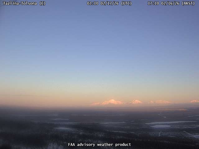
Webcams

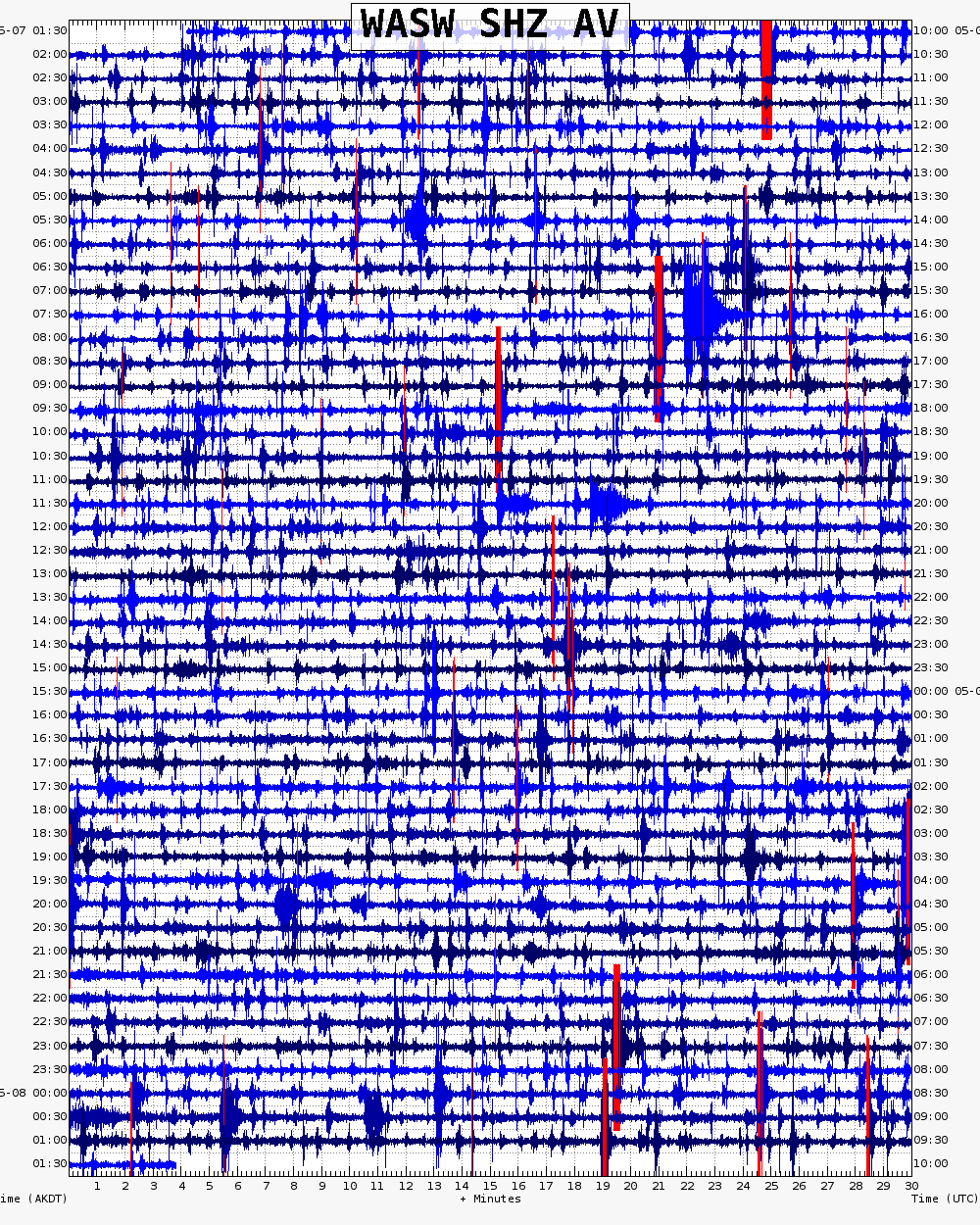
Webicorder

Color Code Timeline

Reported Activity

Modern Eruptions

26 Event Date(s)

Past Activity Legend:
Eruption
Questionable eruption
Non-eruptive activity


Showing 1 - 20 of 50

Map Images


Map References


Recently active volcanoes of Alaska, 2023

Cameron, C.E., Bull, K.F., and Macpherson, A.E., 2023, Recently active volcanoes of Alaska: Alaska Division of Geological & Geophysical Surveys Miscellaneous Publication 133 v. 6, 2 sheets. https://doi.org/10.14509/31086.

Historically active volcanoes of Alaska, v. 3, 2018

Cameron, C.E., Schaefer, J.R., and Mulliken, K.M., 2018, Historically active volcanoes of Alaska: Alaska Division of Geological & Geophysical Surveys Miscellaneous Publication 133 v. 3, 2 sheets. Http://doi.org/10.14509/30142

Geologic map of the Valdez D-1 and D-2 quadrangles (Mount Wrangell Volcano), Alaska, 2016

Richter, D.H., McGimsey, R.G., Labay, K.A., Lanphere, M.A., Moore, R.B., Nye, C.J., Rosenkrans, D.S., and Winkler, G.R., 2016, Geologic map of the Valdez D-1 and D-2 quadrangles (Mount Wrangell Volcano), Alaska: U.S. Geological Survey Scientific Investigations Map 3351, 20 p., scale 1:63,360, http://dx.doi.org/10.3133/sim3351.

Historically active volcanoes of Alaska, 2014

Schaefer, J.R., Cameron, C.E., and Nye, C.J., 2014, Historically active volcanoes of Alaska: Alaska Division of Geological & Geophysical Surveys Miscellaneous Publication 133 v. 1.2, 1 sheet, scale 1:3,000,000. This publication has been superseded. Newest version available at http://www.dggs.alaska.gov/pubs/id/20181 .

Geologic map of the Wrangell-Saint Elias National Park and Preserve, Alaska, 2006

Richter, D.H., Preller, C.C., Labay, K.A., and Shew, N.B., compilers, 2006, Geologic map of the Wrangell-Saint Elias National Park and Preserve, Alaska: U.S. Geological Survey Scientific Investigations Map 2877, 15 p., 1 plate, scale 1:350,000, available at http://pubs.usgs.gov/sim/2006/2877/ .

Volcanoes of Alaska, 1998

Nye, C. J., Queen, Katherine, and McCarthy, A. M., 1998, Volcanoes of Alaska: Alaska Division of Geological & Geophysical Surveys Information Circular IC 0038, unpaged, 1 sheet, scale 1:4,000,000, available at http://www.dggs.dnr.state.ak.us/pubs/pubs?reqtype=citation&ID=7043 .
Hard Copy held by AVO at FBKS - CEC shelf

Volcanoes of Alaska, 1995

Alaska Division of Geological & Geophysical Surveys, 1995, Volcanoes of Alaska: Alaska Division of Geological & Geophysical Surveys Information Circular IC 0038, unpaged, 1 sheet, scale 1:4,000,000.

Geologic map of the Gulkana A-1 Quadrangle, south-central Alaska, 1994

Richter, D. H., Duffield, W. A., Sawyer, D. A., Schmoll, H. R., and Ratte, J. C., 1994, Geologic map of the Gulkana A-1 Quadrangle, south-central Alaska: U.S. Geological Survey Geological Quadrangle Map GQ 1728, unpaged, 1 sheet, scale 1:63,360.
Hard Copy held by AVO at FBKS - CEC shelf

Geologic map of the Nabesna B-6 Quadrangle, south-central Alaska, 1993

Richter, D. H., Smith, J. G., Schmoll, H. R., and Smith, R. L., 1993, Geologic map of the Nabesna B-6 Quadrangle, south-central Alaska: U.S. Geological Survey Geological Quadrangle Map GQ 1688, unpaged, 1 sheet, scale 1:63,360.

Map showing distribution, composition, and age of Late Cenozoic volcanic centers in Alaska, 1986

Luedke, R. G., and Smith, R. L., 1986, Map showing distribution, composition, and age of Late Cenozoic volcanic centers in Alaska: U.S. Geological Survey Miscellaneous Investigations Series Map I 1091-F, unpaged, 3 sheets, scale 1:1,000,000.

Preliminary report on the investigation of the geothermal energy resource potential of the eastern Copper River basin, Alaska, 1985

Wescott, E. M., and Turner, D. L., 1985, Preliminary report on the investigation of the geothermal energy resource potential of the eastern Copper River basin, Alaska: Alaska Division of Geological & Geophysical Surveys Public-Data File PDF 85-31, 113 p., 4 sheets, scale 1:63,360.

Geologic map of the Nabesna B-5 Quadrangle, Alaska, 1982

Lowe, P.C., Richter, D.H., Smith, R.L., and Schmoll, H.R., 1982, Geologic map of the Nabesna B-5 Quadrangle, Alaska: US Geological Survey Geologic Quadrangle Maps 1566, 1 sheet, scale 1:63,360, available at http://www.dggs.dnr.state.ak.us/pubs/pubs?reqtype=citation&ID=13055 .

Geothermal energy resources of Alaska, 1980

Turner, D. L., Forbes, R. B., Albanese, Mary, Macbeth, Joyce, Lockhart, A. B., and Seed, S. M., 1980, Geothermal energy resources of Alaska: University of Alaska Fairbanks Geophysical Institute Report UAG-R 279, 19 p., 3 sheets, scale 1 at 1:2,500,000.

Reconnaissance map and description of the Chetaslina volcanic debris flow (new name), southeastern Copper River basin and adjacent areas, South-central Alaska, 1980

Yehle, L. A., and Nichols, D. R., 1980, Reconnaissance map and description of the Chetaslina volcanic debris flow (new name), southeastern Copper River basin and adjacent areas, South-central Alaska: U.S. Geological Survey Miscellaneous Field Studies Map MF 1209, unpaged, 1 sheet, scale 1:250,000.
Hard Copy held by AVO at FBKS - CEC shelf

Map and description of late Tertiary and Quaternary deposits, Valdez quadrangle, Alaska, 1980

Williams, J. R., and Johnson, K. M., 1980, Map and description of late Tertiary and Quaternary deposits, Valdez quadrangle, Alaska: U.S. Geological Survey Open-File Report 80-0892C, unpaged, 2 plates, scale 1:250,000.

Geologic map of the McCarthy quadrangle, Alaska, 1978

MacKevett, E. M. Jr., 1978, Geologic map of the McCarthy quadrangle, Alaska: U.S. Geological Survey Miscellaneous Investigations Series Map I 1032, unpaged, 1 plate, scale 1:250,000.

Geologic map of the Nabesna quadrangle, Alaska, 1976

Richter, D. H., 1976, Geologic map of the Nabesna quadrangle, Alaska: U.S. Geological Survey Miscellaneous Investigations Series Map I 0932, unpaged, 1 plate, scale 1:250,000.

Geologic map of the Nabesna A-5 quadrangle, Alaska, 1976

Richter, D.H., and Smith, R.L., 1976, Geologic map of the Nabesna A-5 quadrangle, Alaska: US Geological Survey Geologic Quadrangle Map 1292, 1 sheet, available at http://www.dggs.dnr.state.ak.us/pubs/pubs?reqtype=citation&ID=13027 .

Geologic map of the Nabesna Quadrangle, Alaska, 1975

Richter, D.H., 1975, Geologic map of the Nabesna Quadrangle, Alaska: US Geological Survey Miscellaneous Field Studies 655-A, 1 sheet, scale 1:250,000, available at http://www.dggs.dnr.state.ak.us/pubs/pubs?reqtype=citation&ID=13261 .

Reconnaissance geologic map of the Nabesna A-3 quadrangle, Alaska, 1971

Richter, D.H., 1971, Reconnaissance geologic map and section of the Nabesna A-3 quadrangle, Alaska: US Geological Survey Miscellaneous Investigations 655, 1 sheet, scale 1:63,360, available at http://www.dggs.dnr.state.ak.us/pubs/pubs?reqtype=citation&ID=13629 .

Geology of the central Copper River region, Alaska, 1905

Mendenhall, W. C., 1905, Geology of the central Copper River region, Alaska: U.S. Geological Survey Professional Paper PP 0041, 133 p., 1 plate, scale 1:63,360.
plate 4 PDF 28.5 MB
plate 11 PDF 16 MB
plate 19 PDF 17.4 MB
plate 20 PDF 2.4 MB
Hard Copy held by AVO at FBKS - CEC shelf

Reconnaissance of the gold fields of southern Alaska with some notes on general geology, 1898

Becker, G. F., 1898, Reconnaissance of the gold fields of southern Alaska with some notes on general geology: U.S. Geological Survey Annual Report 0018, p. 1-86, 6 sheets, scale unknown.
full-text PDF 1.5 MB
Hard Copy held by AVO at FBKS - CEC file cabinet

Loading Bibliography...

Ash Forecasting

Mathematical models developed by the USGS forecast various aspects of how a volcanic ash plume will interact with wind—where, how high, and how fast ash particles will be transported in the atmosphere, as well as where ash will fall out and accumulate on the ground. AVO runs these models when a volcano is restless by assuming a reasonable hypothetical eruption, to provide a pre-eruptive forecast of areas likely to be affected. During an ongoing eruption, AVO will update the forecast with actual observations (eruption start time and duration, plume height) as they become available.

View the current airborne ash cloud models for Wrangell

Ashfall thickness forecast

The Ash3d model was developed by the USGS to forecast how a volcanic ash plume will interact with wind and where ash will fall out and accumulate on the ground. AVO runs these models twice daily when a volcano is restless by assuming a reasonable hypothetical eruption altitude and duration. The map shows the model results of ashfall thickness for areas that are likely to be affected, if one were to occur. During an ongoing eruption, AVO will update the forecast with actual observations (eruption start time and duration, plume height) as they become available, and these plots will be automatically updated. The National Weather Service Anchorage Forecast Office will issue the official ashfall warning product and post them at weather.gov/afc

THESE PRODUCTS MAY NOT BE CURRENT.

During an actual eruption, see National Weather Service forecasts of ashfall:https://weather.gov/afc.
Ashfall Forecast

Click on the X on the graphic (upper right) to expand the map to show the map legend.

Ashfall Start Time

This map shows the modeled estimate of the time it would take for ashfall to begin following an eruption. It corresponds to the ashfall thickness forecast map shown above. This map uses the start time of either the twice-daily hypothetical model runs (time shown in the legend) or the actual eruption start time (if one were to occur). In the case of an actual eruption, the National Weather Service Anchorage Forecast Office will issue the official ashfall warning product that includes the ashfall start time and post them at weather.gov/afc

THESE PRODUCTS MAY NOT BE CURRENT.

During an actual eruption, see National Weather Service forecasts of ashfall:https://weather.gov/afc.

Ashfall Start Times Forecast

Click on the X on the graphic (upper right) to expand the map to show the map legend.
×