Atka volcanic complex


Facts


  • Official Name: Atka Island
  • Seismically Monitored: Yes
  • Color Code: GREEN
  • Alert Level: NORMAL
  • Elevation: 1533m (5029ft)
  • Latitude: 52.3309
  • Longitude: -174.139
  • Smithsonian VNum: 311160
  • Pronunciation:
  • Nearby Towns:
    • Atka 10 mi (16 km) SW
    • Adak 110 mi (178 km) SW
    • Nikolski 225 mi (362 km) NE
    • Unalaska 333 mi (535 km) NE
    • Saint George 348 mi (560 km) NE

    Distance from Anchorage: 1094 mi (1761 km)

  • Subfeatures:
    • Kliuchef
    • Korovin
    • Sarichef
    • Konia
    • Atka caldera

Description

From Wood and Kienle (1990) [1] : "Atka is the largest (~200 cubic km) volcanic center in the central Aleutians. There are no larger centers westward, and the closest larger center is Umnak, some 300 km east. Seguam lies directly to the east, and Great Sitkin to the west. The overall structure of the center is that of a broad central shield which once supported a large (~2,200 m) center cone (Atka volcano) ringed by as many as 7 or 8 smaller satellite volcanoes. The central cone was lost to caldera formation, shutting down the whole system, and the satellite vents still remain at various stages of erosional decay. Sarichef is perhaps the youngest satellite vent and has survived erosion largely unscathed. More often, summit ice buildup has breached the crater walls, forming active cirques, which have deeply incised the satellite vents. Tangential to these vents are U-shaped valleys, formed by moving ice.
"Kliuchef volcano grew on the north rim of the now ice-filled Atka caldera and formed a series of five vents striking northeast. The two main summit vents and the easternmost vent are fresh; the latter is most likely the source of the 1812 eruption attributed to Sarichef. Double-coned Korovin volcano next appeared, although overlapping considerably in time with Kliuchef. Six km north of Kliuchef, Konia volcano occupies the middle ground between Korovin and Kliuchef and is as old as much of Korovin itself. Korovin has been and remains the principal active volcano on Atka. It is unusual in that its summit crater marks an open, cylindrical vent reaching nearly to sea level; it has been observed by pilots flying over to sometimes contain a crater lake and at other times to be brimming with magma. This vent is the source of most recent eruptions.
"All the volcanoes consist principally of crystal-rich, thin, (<~3m) basaltic lavas with interbedded scoria yielding increasing amounts of pyroclastic debris, autobreccias, and lahars. The summit of Kliuchef is mostly glassy dacite as are some late flows of Korovin and Konia. A thick (~400 m) pink dacite with pumiceous and glassy cooling units was erupted upon formation of Atka caldera, but no ash flows have been found. Thick, expansive lahar aprons fill many early Pleistocene glacial valleys. These have been cut by parse dikes spanning the volcanic center, whose emplacement apparently attended caldera collapse. The lavas themselves are overwhelmingly (>or= 90% by volume) high-alumina basalt, strikingly free of xenoliths. The basalt contains plagioclase, orthopyroxene, magnetite, and clinopyroxene. The andesite and dacite contain orthopyroxene at the expense of olivine; trace amounts of biotite are also found in the dacite. No hydrous phases are found in any basalt or andesite lava. Three hot spring areas are found apparently associated with Kliuchef and Atka caldera, and a fourth spring occurs some 7.5 km west of Kliuchef."

Name Origin

"Atka Island" comes from an Unangam Tunuu name reported by early Russian traders; published as "Atchu Island" by Rev. Coxe (1780), "Atghka" by Captain Cook (1785), "Atkha Ile" by Captain Lutke (1836), and "O[strov] Atka on Captain Tebenkov's 1852 map (Orth, 1971).


References Cited

[1] Volcanoes of North America: United States and Canada, 1990

Wood, C. A., and Kienle, Juergen, (eds.), 1990, Volcanoes of North America: United States and Canada: New York, Cambridge University Press, 354 p.

Current Activity

May 5, 2025, 12:00 pm
No further explosive activity has been detected at the Atka volcanic complex since the small explosive event at 10:34 AKDT on April 25 (18:34 UTC on April 25). Thus, the Aviation Color Code and Alert Level are being reduced to GREEN/NORMAL.

Brief explosive events at Korovin Volcano can occur without significant precursory unrest. Fallout of ash is unlikely to extend much beyond the upper flanks of the volcano.Possible ash clouds generated by such events are expected to be small and dissipate quickly.

Webcams

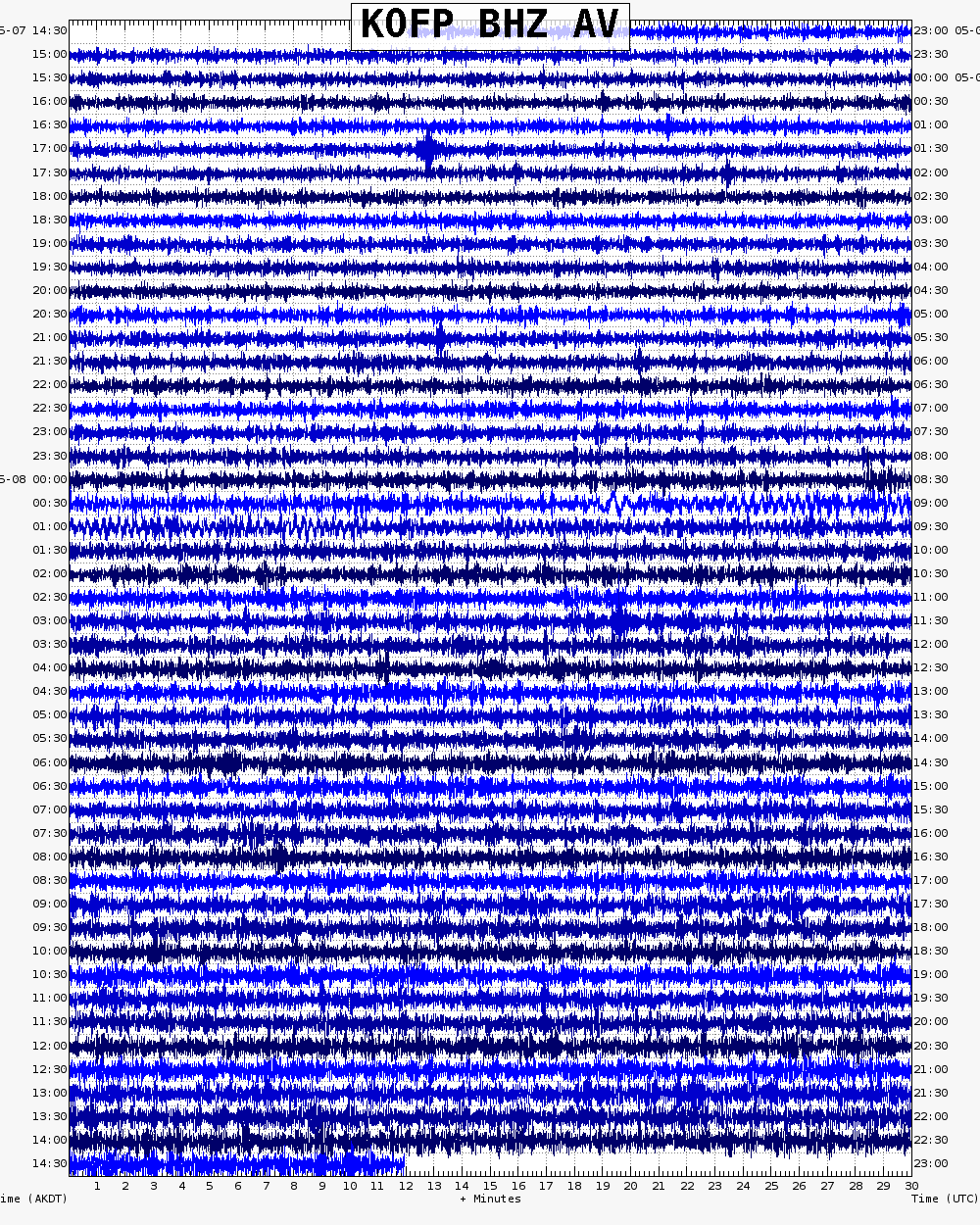
Webicorder

Color Code Timeline

Loading Past Activity...

Loading Images...

Loading Maps...

Loading Bibliography...

Ash Forecasting

Mathematical models developed by the USGS forecast various aspects of how a volcanic ash plume will interact with wind—where, how high, and how fast ash particles will be transported in the atmosphere, as well as where ash will fall out and accumulate on the ground. AVO runs these models when a volcano is restless by assuming a reasonable hypothetical eruption, to provide a pre-eruptive forecast of areas likely to be affected. During an ongoing eruption, AVO will update the forecast with actual observations (eruption start time and duration, plume height) as they become available.

View the current airborne ash cloud models for Atka volcanic complex

Ashfall thickness forecast

The Ash3d model was developed by the USGS to forecast how a volcanic ash plume will interact with wind and where ash will fall out and accumulate on the ground. AVO runs these models twice daily when a volcano is restless by assuming a reasonable hypothetical eruption altitude and duration. The map shows the model results of ashfall thickness for areas that are likely to be affected, if one were to occur. During an ongoing eruption, AVO will update the forecast with actual observations (eruption start time and duration, plume height) as they become available, and these plots will be automatically updated. The National Weather Service Anchorage Forecast Office will issue the official ashfall warning product and post them at weather.gov/afc

THESE PRODUCTS MAY NOT BE CURRENT.

During an actual eruption, see National Weather Service forecasts of ashfall:https://weather.gov/afc.
Ashfall Forecast

Click on the X on the graphic (upper right) to expand the map to show the map legend.

Ashfall Start Time

This map shows the modeled estimate of the time it would take for ashfall to begin following an eruption. It corresponds to the ashfall thickness forecast map shown above. This map uses the start time of either the twice-daily hypothetical model runs (time shown in the legend) or the actual eruption start time (if one were to occur). In the case of an actual eruption, the National Weather Service Anchorage Forecast Office will issue the official ashfall warning product that includes the ashfall start time and post them at weather.gov/afc

THESE PRODUCTS MAY NOT BE CURRENT.

During an actual eruption, see National Weather Service forecasts of ashfall:https://weather.gov/afc.

Ashfall Start Times Forecast

Click on the X on the graphic (upper right) to expand the map to show the map legend.