Gareloi


Facts


  • Official Name: Mount Gareloi
  • Seismically Monitored: Yes
  • Color Code: GREEN
  • Alert Level: NORMAL
  • Elevation: 1573m (5160ft)
  • Latitude: 51.78887
  • Longitude: -178.79368
  • Smithsonian VNum: 311070
  • Nearby Towns:
    • Adak 93 mi (149 km) NE
    • Atka 197 mi (318 km) NE
    • Shemya Station 307 mi (494 km) NW
    • Attu Station 345 mi (556 km) NW
    • Nikolski 426 mi (685 km) NE

    Distance from Anchorage: 1265 mi (2035 km)

Description

From Miller and others (1998) [1] : "Mount Gareloi, which makes up most of Gareloi Island, is a stratovolcano 10 km by 8 km in diameter at its base with two summits, separated by a narrow saddle. Two small glaciers extend northwest and southeast from the saddle. The northern, slightly higher peak is on the southern rim of a crater about 300 m across, which contains several active fumaroles. Thirteen younger craters, from 80 to 1600 m in diameter, are aligned along a south-southeast trending fissure that extends from strandline to the southern summit. These craters formed during a major explosive eruption in 1929 that also produced four blocky lava flows (unit Ql), and a blanket of glassy andesitic tuff that covers an area roughly 2.5 x 5 km on the volcano's southeast flank [2] .
"The intercalated lava flows and pyroclastic debris that make up Gareloi volcano were produced during two periods of activity separated by an extended interval of quiescence and erosion. Lava flows range from 1 m to more than 6 m in thickness; some flows of the older sequence appear to have originated from flank vents rather than from the summit. Some valleys cut in older rocks are U-shaped, suggesting that the older series is of late Pleistocene age or older. Rocks of the younger series are relatively undissected; many appear to have been erupted form at or near the summit crater. Craters formed during the 1929 eruptions are probably only partly of phreatic origin; erupted material included essential, pumiceous glass, and reddened scoria. Lava flows that erupted in 1929 emerged at elevations below 600 m. In 1949, one crater at an elevation of 900 m, contained a small, milky blue-green lake, which suggests that acid fumaroles were still active in the crater at that time (Coats, 1959 [2] , p. 253)."

Name Origin

Mount Gareloi is named after Gareloi Island. Gareloi Island's name was published as "O[strov] Goreloi," or "Goreloi Island" by Lt. Sarychev (1826), from the Russian word for "burnt" or "burning." According to Captain Tebenkov (1852), its Unangam Tunuu name was "Anangusik." The name "Gareloi" appeared on U.S. and British maps prior to 1902 (Orth, 1971).


References Cited

[1] Catalog of the historically active volcanoes of Alaska, 1998

Miller, T. P., McGimsey, R. G., Richter, D. H., Riehle, J. R., Nye, C. J., Yount, M. E., and Dumoulin, J. A., 1998, Catalog of the historically active volcanoes of Alaska: U.S. Geological Survey Open-File Report 98-0582, 104 p.

[2] Geologic reconnaissance of Gareloi Island, Aleutian Islands, Alaska, 1959

Coats, R. R., 1959, Geologic reconnaissance of Gareloi Island, Aleutian Islands, Alaska: in Investigations of Alaskan volcanoes, U.S. Geological Survey Bulletin 1028-J, p. 249-256, 1 sheet, scale unknown.
full-text PDF 4.4 MB
plate 33 PDF 1.4 MB

Current Activity

No new updates for Gareloi volcano since March 5, 2024, 11:50 am.

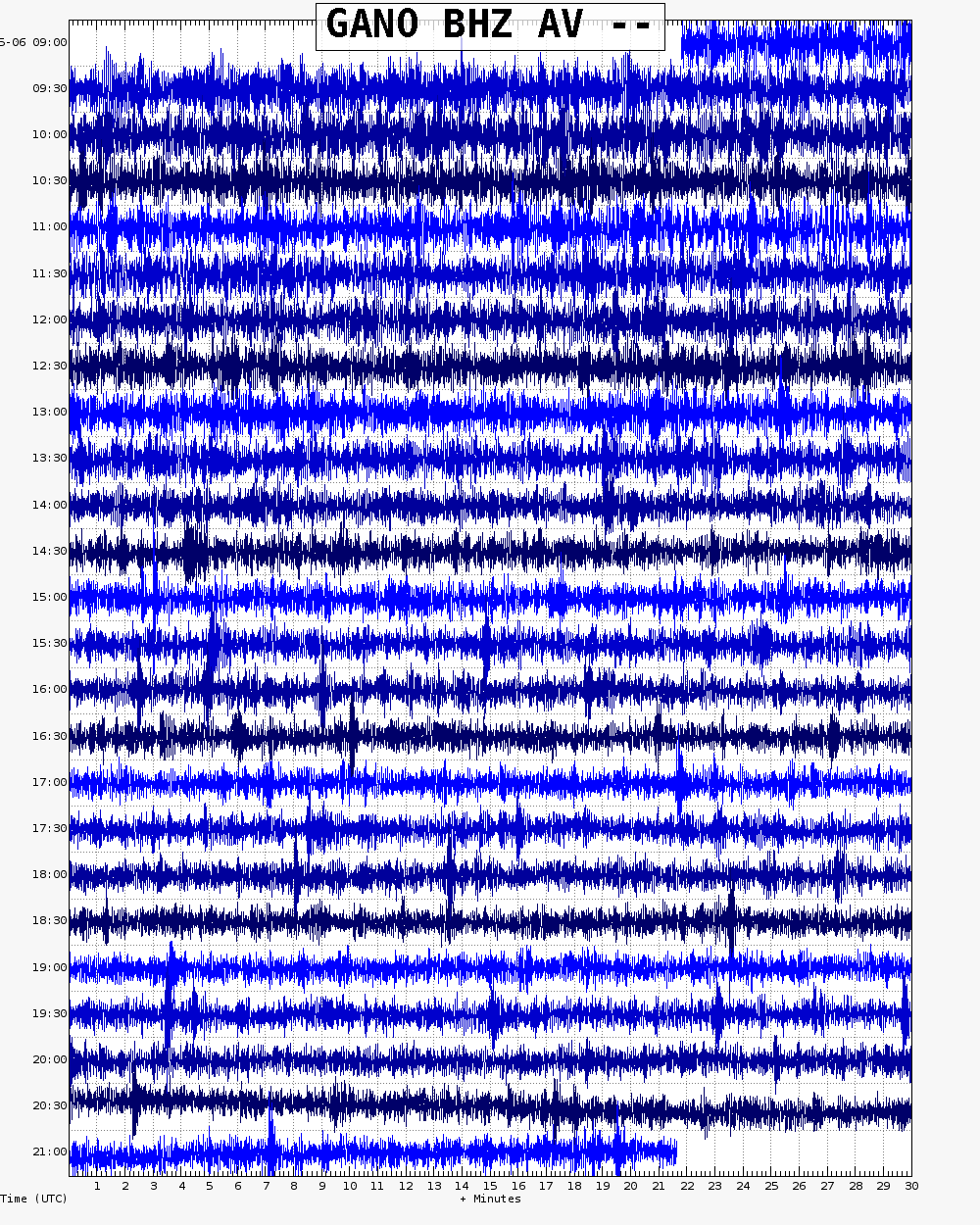
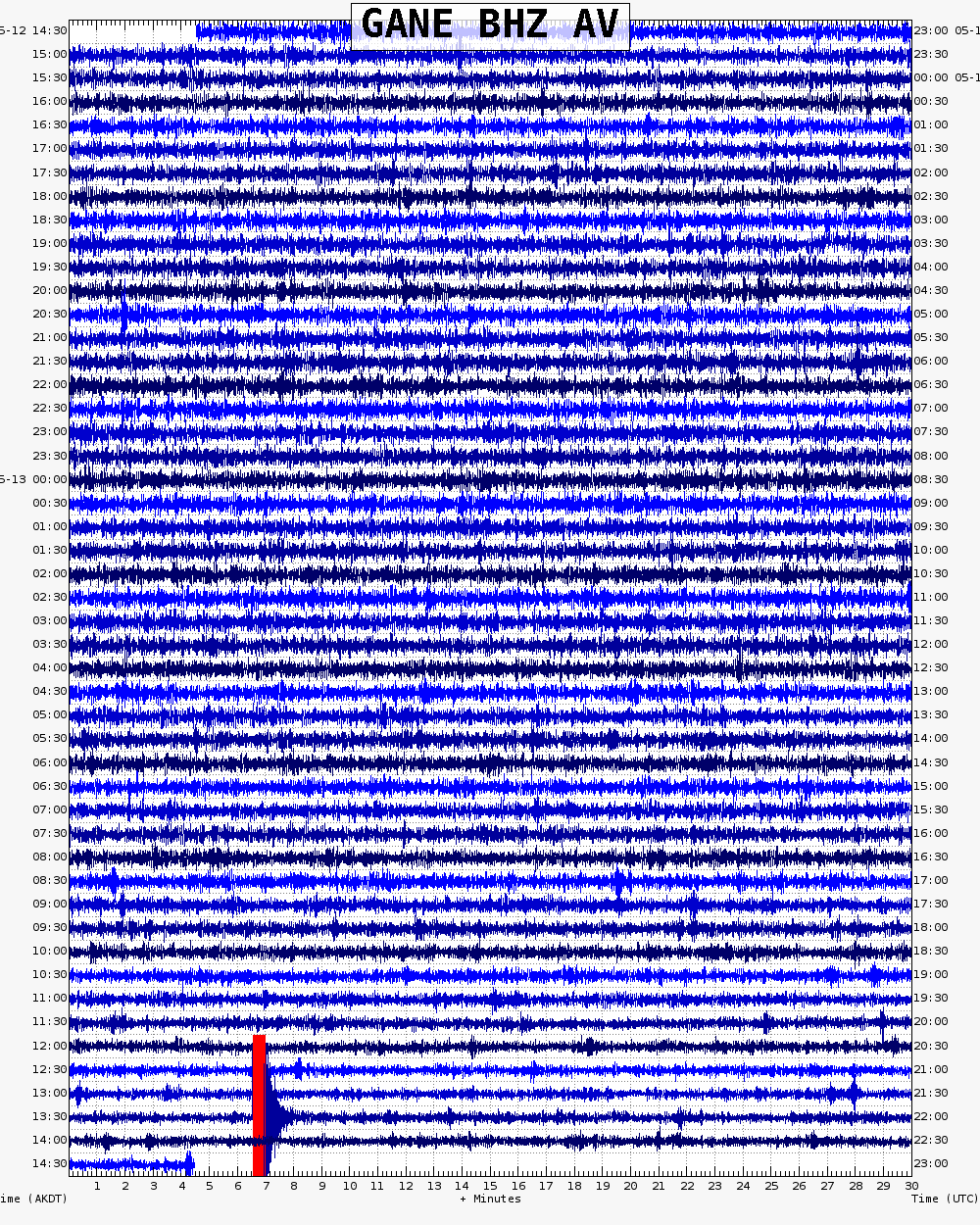
Webicorder

Color Code Timeline

Loading Past Activity...

Loading Images...

Loading Maps...

Loading Bibliography...

Ash Forecasting

Mathematical models developed by the USGS forecast various aspects of how a volcanic ash plume will interact with wind—where, how high, and how fast ash particles will be transported in the atmosphere, as well as where ash will fall out and accumulate on the ground. AVO runs these models when a volcano is restless by assuming a reasonable hypothetical eruption, to provide a pre-eruptive forecast of areas likely to be affected. During an ongoing eruption, AVO will update the forecast with actual observations (eruption start time and duration, plume height) as they become available.

View the current airborne ash cloud models for Gareloi

Ashfall thickness forecast

The Ash3d model was developed by the USGS to forecast how a volcanic ash plume will interact with wind and where ash will fall out and accumulate on the ground. AVO runs these models twice daily when a volcano is restless by assuming a reasonable hypothetical eruption altitude and duration. The map shows the model results of ashfall thickness for areas that are likely to be affected, if one were to occur. During an ongoing eruption, AVO will update the forecast with actual observations (eruption start time and duration, plume height) as they become available, and these plots will be automatically updated. The National Weather Service Anchorage Forecast Office will issue the official ashfall warning product and post them at weather.gov/afc

THESE PRODUCTS MAY NOT BE CURRENT.

During an actual eruption, see National Weather Service forecasts of ashfall:https://weather.gov/afc.
Ashfall Forecast

Click on the X on the graphic (upper right) to expand the map to show the map legend.

Ashfall Start Time

This map shows the modeled estimate of the time it would take for ashfall to begin following an eruption. It corresponds to the ashfall thickness forecast map shown above. This map uses the start time of either the twice-daily hypothetical model runs (time shown in the legend) or the actual eruption start time (if one were to occur). In the case of an actual eruption, the National Weather Service Anchorage Forecast Office will issue the official ashfall warning product that includes the ashfall start time and post them at weather.gov/afc

THESE PRODUCTS MAY NOT BE CURRENT.

During an actual eruption, see National Weather Service forecasts of ashfall:https://weather.gov/afc.

Ashfall Start Times Forecast

Click on the X on the graphic (upper right) to expand the map to show the map legend.