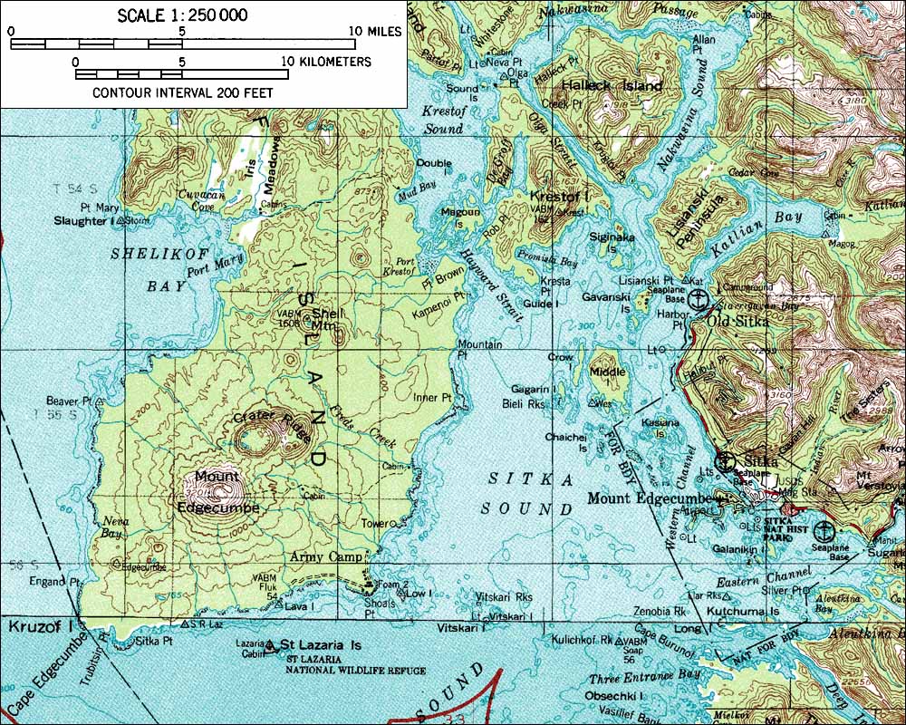
Topographic map of Mount Edgecumbe.
Date: 2000
Volcano(es): Edgecumbe
Photographer: U.S. Geological Survey
URL: avo.alaska.edu/image/view/656
Credit: Topography from U.S. Geological Survey maps, image created by Amar Andalkar (www.skimountaineer.com).
Use Restriction: Please contact Amar Andalkar (www.skimountaineer.com) for permission to use this image.
Full Resolution.
×
![Instrument data]()