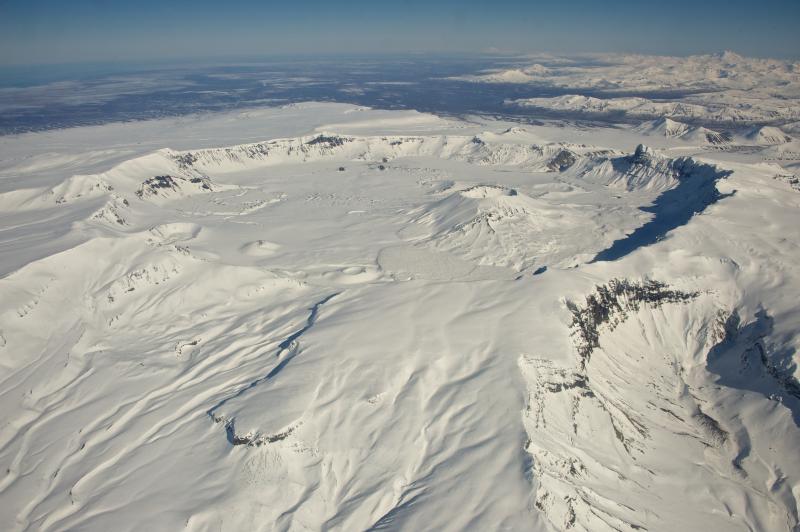
Aerial view of snow-covered, 6-mile-wide, Aniakchak Caldera on the Alaska Peninsula. View is towards the north-northeast. Aniakchak last erupted in 1931. Chiginagak Volcano is the high peak on the far right horizon. Photo courtesy of Roy Wood, NPS, March 10, 2013.
Date: Mar 10th, 2013
Volcano(es): Aniakchak
Photographer: Wood, Roy
URL: avo.alaska.edu/image/view/56674
Credit: Image courtesy of the photographer.
Use Restriction: Please cite the photographer, Roy Wood, NPS, when using this image.
Full Resolution.
Volcano(es): Aniakchak
Photographer: Wood, Roy
URL: avo.alaska.edu/image/view/56674
Location:
Latitude: 56.816666666667
Longitude: -158.25601111111
Use Restriction: Please cite the photographer, Roy Wood, NPS, when using this image.
Full Resolution.