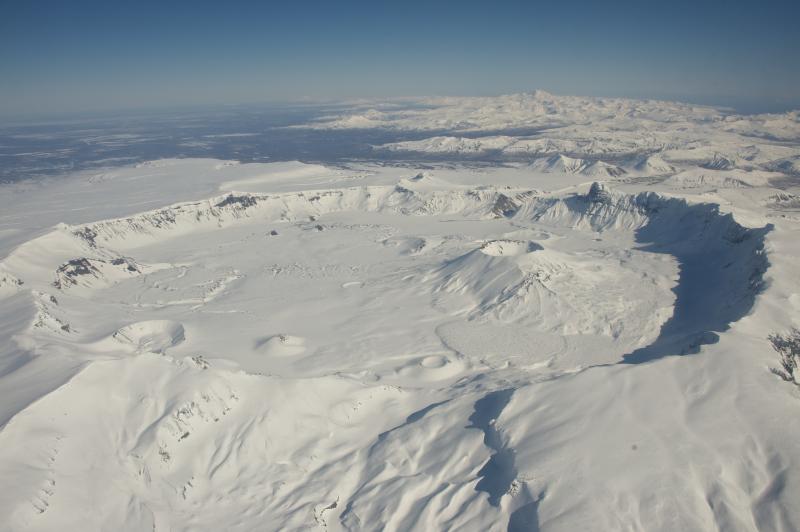
Aerial view of snow-covered, 6-mile-wide, Aniakchak Caldera on the Alaska Peninsula. View is towards the northeast. Aniakchak last erupted in 1931. Chiginagak Volcano is the high peak on the horizon. Photo courtesy of Roy Wood, NPS.
Date: Mar 10th, 2013
Volcano(es): Aniakchak
Photographer: Wood, Roy
URL: avo.alaska.edu/image/view/56664
Credit: Image courtesy of the photographer, Roy Wood, National Park Service.
Use Restriction: Please cite the photographer, Roy Wood, NPS, when using this image.
Full Resolution.
Volcano(es): Aniakchak
Photographer: Wood, Roy
URL: avo.alaska.edu/image/view/56664
Location:
Latitude: 56.85
Longitude: -158.26866111111
Use Restriction: Please cite the photographer, Roy Wood, NPS, when using this image.
Full Resolution.