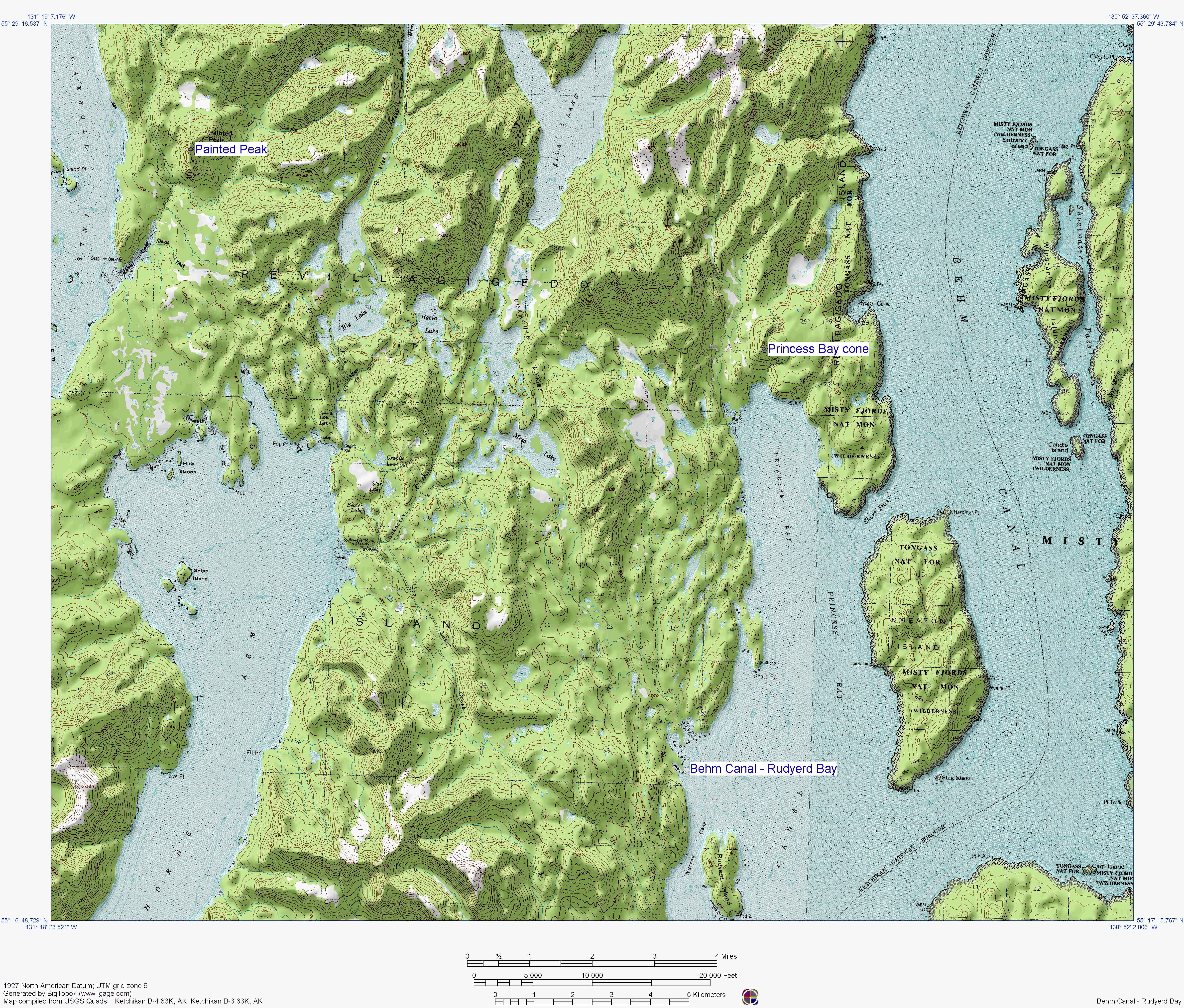
Topographic map of the Behm Canal - Rudyerd Bay area. The locations of two vents, Painted Peak and Princess Bay cone, are depicted.
Date: 2005
Volcano(es): Behm Canal-Rudyerd Bay Painted Peak Princess Bay cone
Photographer: U.S. Geological Survey
URL: avo.alaska.edu/image/view/2908
Image created by the Alaska Volcano Observatory using BigTopo 7 software and AllTopo 7 U.S. Geological Survey topographic maps.Volcano(es): Behm Canal-Rudyerd Bay Painted Peak Princess Bay cone
Photographer: U.S. Geological Survey
URL: avo.alaska.edu/image/view/2908
Please cite the Alaska Volcano Observatory, the U.S. Geological Survey, BigTopo 7, and AllTopo 7 when using this image.
Full Resolution.