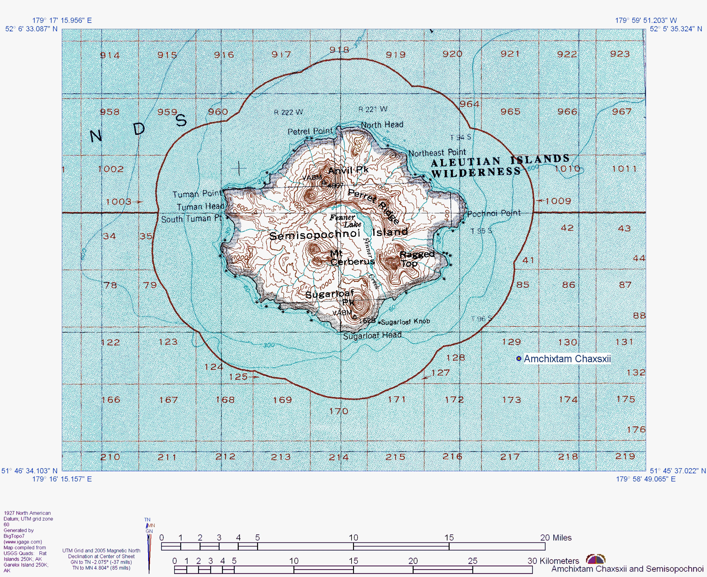
Topographic map of Semisopochnoi Island and showing location of submarine Amchixtam Chaxsxii volcano.
Date: 2005
Volcano(es): Amchixtam Chaxsxii Semisopochnoi Anvil Peak Mount Young Lakeshore Cone Pochnoi Point Ragged Top Sugarloaf Peak Three-quarter cone
Photographer: U.S. Geological Survey
URL: avo.alaska.edu/image/view/2903
Credit: Image created by the Alaska Volcano Observatory using BigTopo 7 software and AllTopo 7 U.S. Geological Survey topographic maps.
Use Restriction: Please cite the Alaska Volcano Observatory, the U.S. Geological Survey, BigTopo 7, and AllTopo 7 when using this image.
Full Resolution.
×
![Instrument data]()