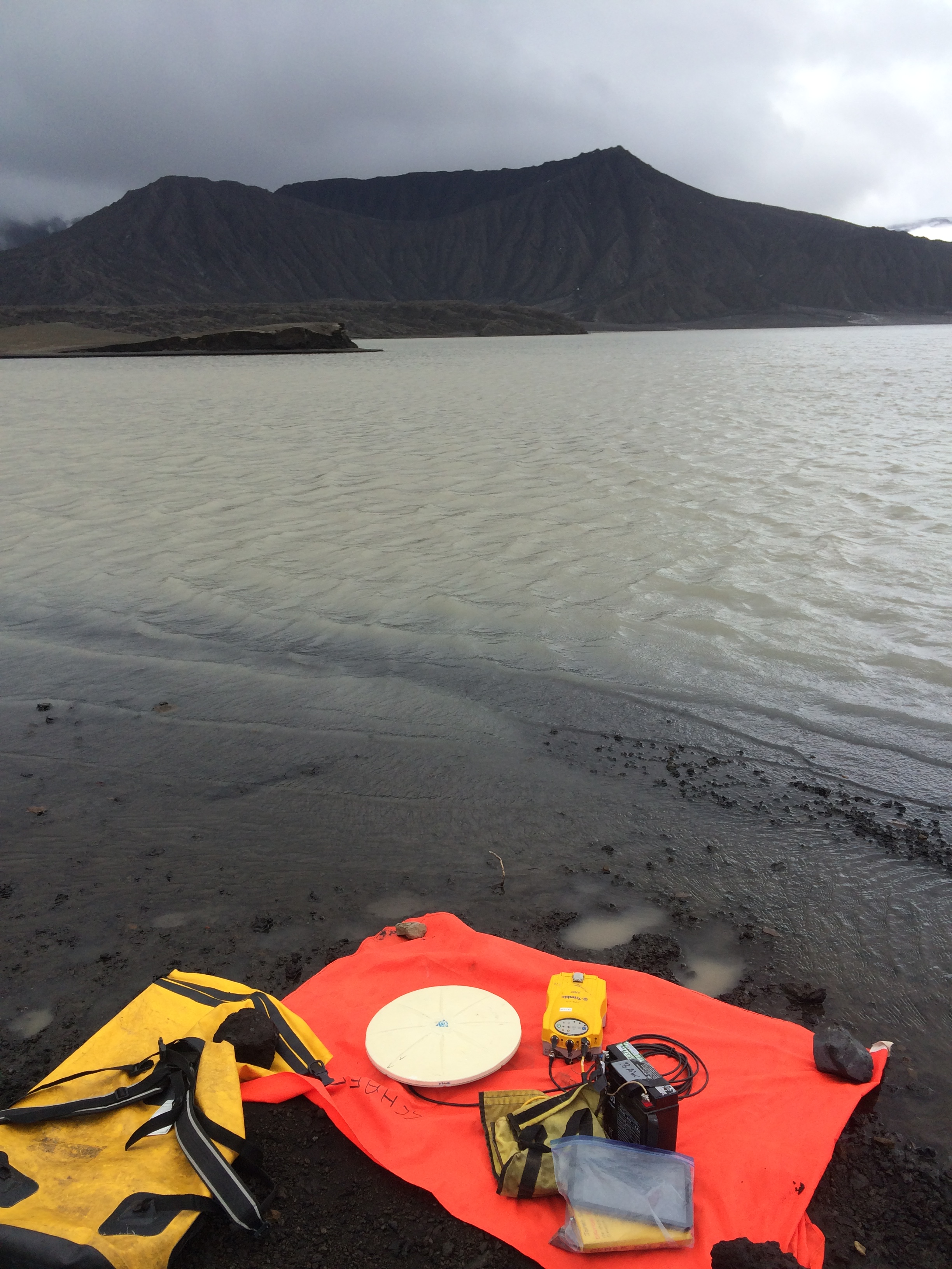
GPS ground control point acquisition, west shore of West Cone D Lake. The 2008 tuff cone, Ahmanilix, in background.
Date: Jul 20th, 2016
Volcano(es): Okmok
Photographer: Schaefer, Janet
URL: avo.alaska.edu/image/view/99511
Credit: Image courtesy of the AVO/ADGGS.
Use Restriction: Please cite the photographer and the Alaska Volcano Observatory / Alaska Division of Geological & Geophysical Surveys when using this image.
Full Resolution.
Volcano(es): Okmok
Photographer: Schaefer, Janet
URL: avo.alaska.edu/image/view/99511
Location:
Latitude: 53.433333333333
Longitude: -168.13380555556
Use Restriction: Please cite the photographer and the Alaska Volcano Observatory / Alaska Division of Geological & Geophysical Surveys when using this image.
Full Resolution.
×
![Instrument data]()