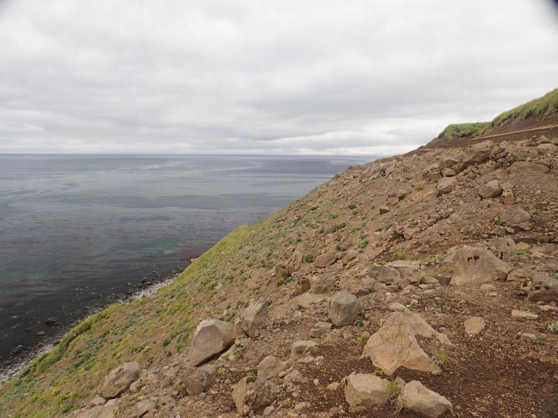
Station 19AAJRS024. This peninsula on the east side of Atka is composed of a base of ~20 meters of glacial diamict with poorly sorted clasts of up to 1-meter-sized faceted boulders in a sandy matrix. More than 6 meters of layered tephras and soils cap this diamict. In other places along the shoreline, this diamict is underlain by layered lavas. Coombs and Schaefer have described the tephra section in detail and collected both tephra and soil samples.
Date: Jul 31st, 2019
Volcano(es): Atka volcanic complex
Photographer: Kelly, Peter
URL: avo.alaska.edu/image/view/149231
Credit: Image courtesy of AVO/USGS.
Use Restriction: Please cite the photographer and the Alaska Volcano Observatory / U.S. Geological Survey when using this image.
Full Resolution.
Volcano(es): Atka volcanic complex
Photographer: Kelly, Peter
URL: avo.alaska.edu/image/view/149231
Location:
Latitude: 52.356578333333
Longitude: -174.004835
Use Restriction: Please cite the photographer and the Alaska Volcano Observatory / U.S. Geological Survey when using this image.
Full Resolution.