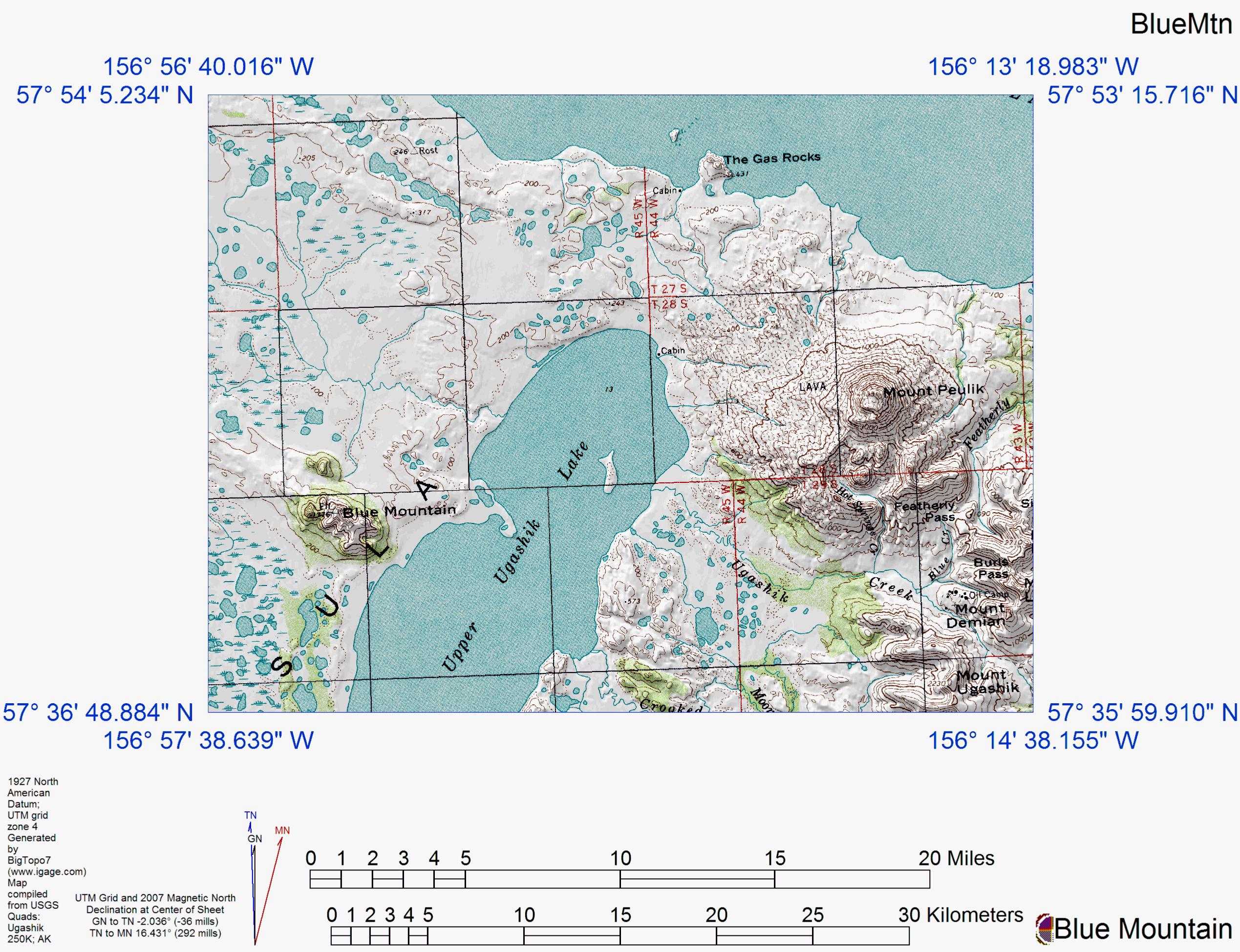
Topographic shaded relief map of Blue Mountain, The Gas Rocks, Mount Peulik, and Ugashik Caldera.
Date: 2007
Volcano(es): Blue Mtn Gas Rocks, the Ugashik caldera Peulik
Photographer: U.S. Geological Survey
URL: avo.alaska.edu/image/view/13749
Credit: Image created by the Alaska Volcano Observatory using BigTopo 7 software and AllTopo 7 U.S. Geological Survey topographic maps.
Use Restriction: Please cite the Alaska Volcano Observatory, the U.S. Geological Survey, BigTopo 7, and AllTopo 7 when using this image.
Full Resolution.
×
![Instrument data]()