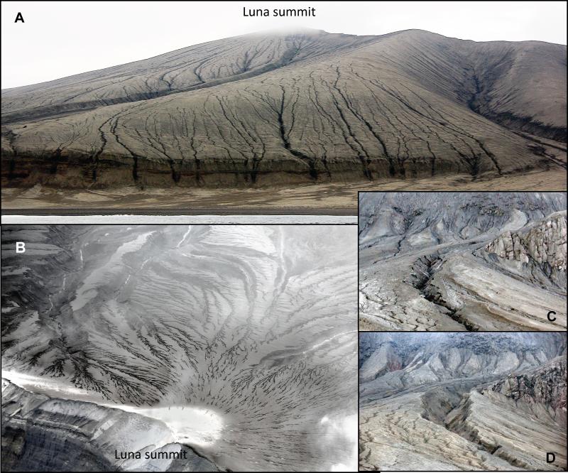
A dense network of gullies developed in the 2008 eruption deposits, probably starting during the waning phase of the eruption. Many of these gullies have eroded down to, and past, the pre-eruption surface, exposing still-viable turf. See http://doi.org/10.14509/29718 for additional details. Photographs taken by C. Nye and R. Buchheit (USFWS).
Date: Apr 6th, 2018
Volcano(es): Kasatochi
Photographer: Nye, Christopher
URL: avo.alaska.edu/image/view/116061
Credit: Image courtesy of the AVO/ADGGS.
Use Restriction: Please cite the photographer and the Alaska Volcano Observatory / Alaska Division of Geological & Geophysical Surveys when using this image.
Full Resolution.