AVO Webicorders - Takawangha
AVO uses several different types of data to monitor volcanoes for signs of unrest or eruptive activity. The data displayed here have not been reviewed in any way, and are preliminary unless reviewed by an AVO geoscientist.
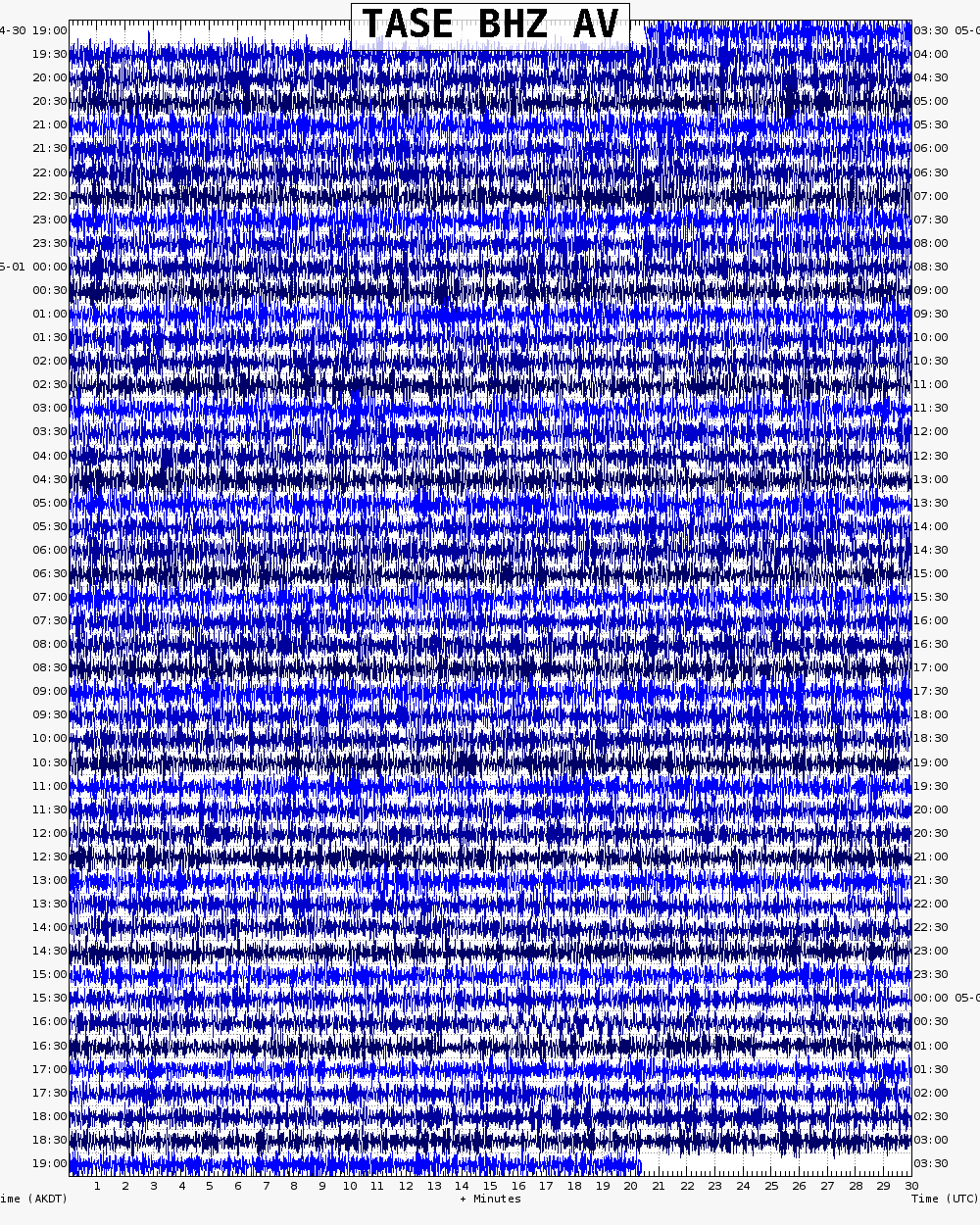
TASE
TASE is 9.3 km (5.8 miles) southeast of Tanaga or 3.8 km (2.3 miles) south-southwest of Takawangha.

TANO
TANO is 3.7 km (2.3 miles) north-northeast of Tanaga or 8,5 km (5.3 miles) west-northwest of Takawangha.

TAPA
TAPA is on Tanaga Island, just south of Rough Bay. Station TAPA is 24.1 km (15.0 miles) east-southeast of Tanaga and 15,8 km (9.8 miles) east-southeast of Takawangha.


