AVO Webicorders - Gareloi

AVO uses several different types of data to monitor volcanoes for signs of unrest or eruptive activity. The data displayed here have not been reviewed in any way, and are preliminary unless reviewed by an AVO geoscientist.
WEBICORDERS

AVAILABLE WEBICORDERS
'; // create links to the archived images $arch24 = $lnkpage . '_24.php'; $arch48 = $lnkpage . '_48.php'; $c1 = ($curpage == $lnkpage . ".php") ? 'class="positive"' : ''; $c24 = ($curpage == $arch24) ? 'class="positive"' : ''; $c48 = ($curpage == $arch48) ? 'class="positive"' : ''; // create links to the current and archive files $current = "Current"; $hour_24 = "24 hours"; $hour_48 = "48 hours"; $arch_div = '
' . $current . $hour_24 . $hour_48 . '
'; } else{ // create links to the archived images $arch24 = GAEA_EHZ_AV . '_24.php'; $arch48 = GAEA_EHZ_AV . '_48.php'; // create links to the current and archive files $current = "Current"; $hour_24 = "24 hours"; $hour_48 = "48 hours"; $arch_div = '
' . $current . $hour_24 . $hour_48 . '
'; } ?>
Gareloi
Station List:
GAEA_EHZ_AVGALA
Great Sitkin
Iliamna
Kanaga
Katmai
Korovin
Little Sitkin
Makushin
Martin
Okmok
Pavlof
Redoubt
Semisopochnoi
Shishaldin
Snowy
Spurr
Tanaga
Veniaminof
Westdahl

UTC CONVERSION
0000 UTC= 4:00 PM AKDT on the previous day as UTC
0600 UTC = 10:00 PM AKDT on the previous day as UTC
1200 UTC= 4:00 AM AKDT on the same day as UTC
1800 UTC = 10:00 AM AKDT on the same day as UTC

RED LINES
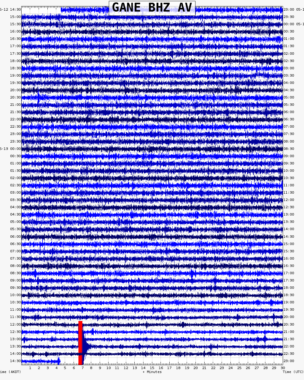
RED LINES indicate either a calibration pulse, or where the signal was clipped (too large to be recorded on the scale of the webicorder).
Gareloi 24 hour webicorder
(Station: GAEA_EHZ_AV)

Seismic station GAEA is 3.3 km (2.0 miles) from the summit of Mount Gareloi. There is a problem with the power at the telemetry hub in Adak since March 2, 2010.
 24 hour webicorder