Alaska Volcano Observatory
Home
Volcanoes
Webcams
Webcams
Ashcam GUI
News
Explore Data
Explore Data
References
Webicorder
Hazard Alert System
Eruptions
Geochem
Locations
Glossary
Images
Get Involved
About AVO
About AVO
Staff
Study Areas
Alert Levels
FAQ
AVO Webcams
Check out
Ashcam GUI
: our new tool for viewing webcams.
Akutan
Akutan [AV06, 1519 ft]
Dec 31, 2025 18:05:00 AKDT
2026-01-01 03:05:00 UTC
Akutan [AV12, 1328 ft]
Dec 31, 2025 18:11:00 AKDT
2026-01-01 03:11:00 UTC
Akutan [AKS, 720 ft]
Dec 31, 2025 18:00:00 AKDT
2026-01-01 03:00:00 UTC
Aniakchak
Port Heiden - E
Dec 31, 2025 18:14:11 AKDT
2026-01-01 03:14:10 UTC
Augustine
Augustine Lagoon [AULG, 59 ft]
Dec 31, 2025 09:10:00 AKDT
2025-12-31 18:10:00 UTC
Augustine [Homer, 709 ft]
Dec 31, 2025 18:00:00 AKDT
2026-01-01 03:00:00 UTC
Augustine Mound [AU22, 344 ft]
Dec 31, 2025 18:11:00 AKDT
2026-01-01 03:11:00 UTC
Chiginagak
Pilot Point - SE
Dec 31, 2025 14:42:42 AKDT
2025-12-31 23:42:41 UTC
Cleveland
Cleveland [CLCL, 1160 ft]
Dec 31, 2025 18:10:00 AKDT
2026-01-01 03:10:00 UTC
Cleveland [CLCO, 449 ft]
Dec 31, 2025 17:08:00 AKDT
2026-01-01 02:08:00 UTC
Cleveland [NIKH, 653 ft]
Dec 31, 2025 18:00:00 AKDT
2026-01-01 03:00:00 UTC
Cleveland [CLES, 479 ft]
Dec 31, 2025 17:15:00 AKDT
2026-01-01 02:15:00 UTC
Dana
Nelson Lagoon - S
Dec 31, 2025 14:46:13 AKDT
2025-12-31 23:46:13 UTC
Edgecumbe
Sitka - W
Dec 31, 2025 18:10:32 AKDT
2026-01-01 03:10:31 UTC
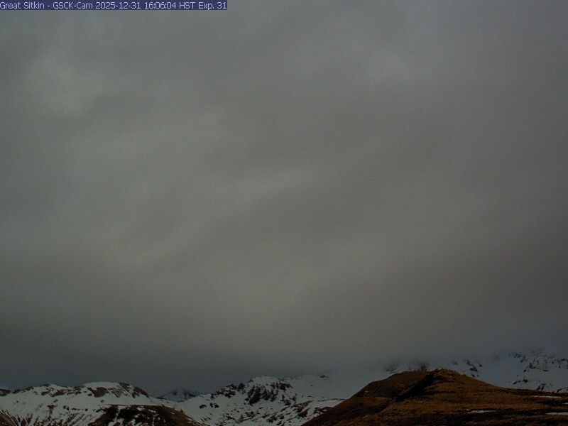
Great Sitkin
Great Sitkin [GSCK, 1181 ft]
Dec 31, 2025 17:07:00 AKDT
2026-01-01 02:07:00 UTC
Great Sitkin [GSIG, 1342 ft]
Dec 31, 2025 17:02:00 AKDT
2026-01-01 02:02:00 UTC
Great Sitkin [WHIT, 620 ft]
Dec 31, 2025 18:11:00 AKDT
2026-01-01 03:11:00 UTC
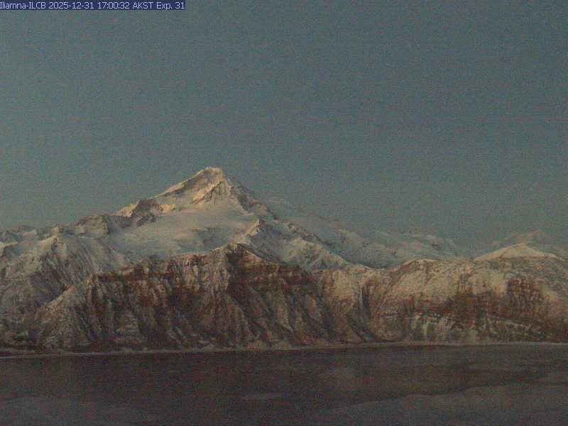
Iliamna
Iliamna [IVE, 3976 ft]
Dec 31, 2025 17:01:00 AKDT
2026-01-01 02:01:00 UTC
Iliamna [ILCB, 2336 ft]
Dec 31, 2025 17:00:00 AKDT
2026-01-01 02:00:00 UTC
Kanaga
Kanaga [WHIT, 620 ft]
Dec 31, 2025 18:05:00 AKDT
2026-01-01 03:05:00 UTC
Katmai
Karluk NorthWest
Dec 30, 2025 01:20:01 AKDT
2025-12-30 10:20:01 UTC
Katmai [KABU, 3494 ft]
Dec 27, 2025 16:16:00 AKDT
2025-12-28 01:16:00 UTC
Katmai [KAB2, 2979 ft]
Dec 31, 2025 17:31:00 AKDT
2026-01-01 02:31:00 UTC
King Salmon - E
Dec 31, 2025 18:06:39 AKDT
2026-01-01 03:06:39 UTC
Katmai [CAHL, 2648 ft]
Dec 31, 2025 17:45:00 AKDT
2026-01-01 02:45:00 UTC
Little Sitkin
Little Sitkin [LSPA, 1099 ft]
Dec 31, 2025 18:06:00 AKDT
2026-01-01 03:06:00 UTC
Mageik
Katmai [KAKN, 3442 ft]
Dec 31, 2025 18:00:00 AKDT
2026-01-01 03:00:00 UTC
Katmai [CAHL, 2648 ft]
Dec 31, 2025 17:45:00 AKDT
2026-01-01 02:45:00 UTC
Makushin
Makushin [MREP, 2575 ft]
Dec 31, 2025 18:00:00 AKDT
2026-01-01 03:00:00 UTC
Martin
Katmai [CAHL, 2648 ft]
Dec 31, 2025 17:45:00 AKDT
2026-01-01 02:45:00 UTC
Novarupta
Katmai [KAKN, 3442 ft]
Dec 31, 2025 18:00:00 AKDT
2026-01-01 03:00:00 UTC
Okmok
Okmok [OKCF, 2247 ft]
Dec 31, 2025 17:01:00 AKDT
2026-01-01 02:01:00 UTC
Okmok [OKIF, 717 ft]
Dec 31, 2025 18:01:00 AKDT
2026-01-01 03:01:00 UTC
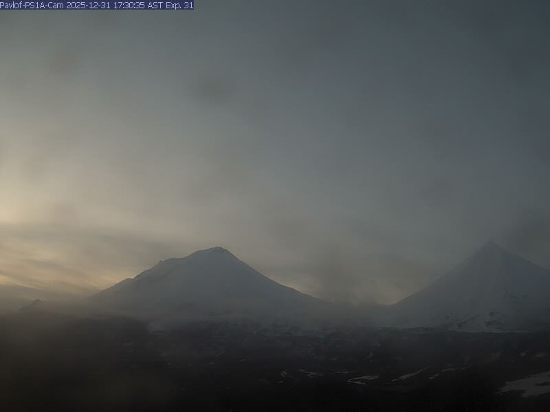
Pavlof
Pavlof [BLHA, 1309 ft]
Dec 31, 2025 18:01:00 AKDT
2026-01-01 03:01:00 UTC
Pavlof [PS1A, 930 ft]
Dec 31, 2025 17:30:00 AKDT
2026-01-01 02:30:00 UTC
Pavlof [DOL, 1486 ft]
Dec 31, 2025 17:30:00 AKDT
2026-01-01 02:30:00 UTC
Redoubt
Redoubt [Cook Inlet, 40 ft]
Jan 1, 2026 09:26:00 AKDT
2026-01-01 18:26:00 UTC
Redoubt [RDDF, 3720 ft]
Dec 31, 2025 18:01:00 AKDT
2026-01-01 03:01:00 UTC
Redoubt [RDJH, 4639 ft]
Dec 31, 2025 18:00:00 AKDT
2026-01-01 03:00:00 UTC
Redoubt - Lowlight Cam [RDJH, 4639 ft]
Dec 31, 2025 07:30:00 AKDT
2025-12-31 16:30:00 UTC
Semisopochnoi
Amchitka [AHT, 381 ft]
Dec 31, 2025 18:00:00 AKDT
2026-01-01 03:00:00 UTC
Semisopochnoi [CETU, 1041 ft]
Dec 31, 2025 18:16:00 AKDT
2026-01-01 03:16:00 UTC
Semisopochnoi [CEPE, 1113 ft]
Dec 31, 2025 18:11:00 AKDT
2026-01-01 03:11:00 UTC
Shishaldin
Shishaldin [BRPK, 1320 ft]
Dec 31, 2025 17:31:00 AKDT
2026-01-01 02:31:00 UTC
Shishaldin [ISLZ, 2080 ft]
Dec 31, 2025 17:30:00 AKDT
2026-01-01 02:30:00 UTC
Shishaldin [WTUG, 2087 ft]
Dec 31, 2025 18:01:00 AKDT
2026-01-01 03:01:00 UTC
Spurr
Spurr [ANCW, 148 ft]
Dec 31, 2025 18:00:00 AKDT
2026-01-01 03:00:00 UTC
Spurr [SPCR, 3199 ft]
Dec 31, 2025 18:02:00 AKDT
2026-01-01 03:02:00 UTC
Spurr [SPCL, 4200 ft]
Dec 31, 2025 12:32:00 AKDT
2025-12-31 21:32:00 UTC
Tanaga
Tanaga [TAPA, 2100 ft]
Dec 31, 2025 18:00:00 AKDT
2026-01-01 03:00:00 UTC
Trident
Katmai [KAKN, 3442 ft]
Dec 31, 2025 18:00:00 AKDT
2026-01-01 03:00:00 UTC
Katmai [CAHL, 2648 ft]
Dec 31, 2025 17:45:00 AKDT
2026-01-01 02:45:00 UTC
Ugashik-Peulik
Egegik - SE
Dec 31, 2025 18:11:22 AKDT
2026-01-01 03:11:22 UTC
Veniaminof
Chignik Lagoon - W
Dec 31, 2025 18:12:26 AKDT
2026-01-01 03:12:25 UTC
Nelson Lagoon - E
Dec 31, 2025 14:39:31 AKDT
2025-12-31 23:39:31 UTC
Perryville NorthWest
Dec 31, 2025 14:40:43 AKDT
2025-12-31 23:40:42 UTC
Westdahl
Akutan [AV12, 1328 ft]
Dec 31, 2025 18:11:00 AKDT
2026-01-01 03:11:00 UTC
Wrangell
Tazlina-Tolsona - E
Dec 31, 2025 14:45:26 AKDT
2025-12-31 23:45:26 UTC
Chitina - NE
Dec 31, 2025 01:40:22 AKDT
2025-12-31 10:40:22 UTC
Wrangell [WAZA, 8304ft]
Dec 31, 2025 18:06:00 AKDT
2026-01-01 03:06:00 UTC
×