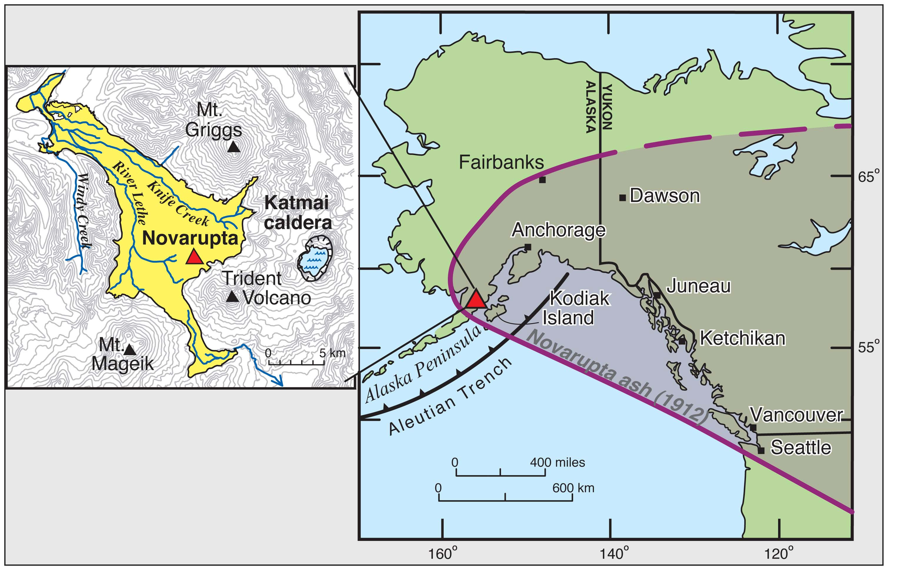
Maps show location of Novarupta, VTTS ignimbrite (yellow), Katmai caldera, and region impacted by ashfall during the 6-8 June 1912 eruption. Dustfall was reported in Virginia by 10 June and in Algeria by 19 June. Ashfall crippled Alaskan ecology and commerce in 1912-13. In 2012, round-the-clock seismic and satellite monitoring by Alaska Volcano Observatory ensures that future eruptions won’t surprise us.
Date: 2000
Volcano(es): Katmai Novarupta
Photographer: Hildreth, E. W.
URL: avo.alaska.edu/image/view/42371
Credit: Image courtesy of AVO/USGS.Volcano(es): Katmai Novarupta
Photographer: Hildreth, E. W.
URL: avo.alaska.edu/image/view/42371
Use Restriction: Please cite the photographer and the Alaska Volcano Observatory / U.S. Geological Survey when using this image.
Full Resolution.