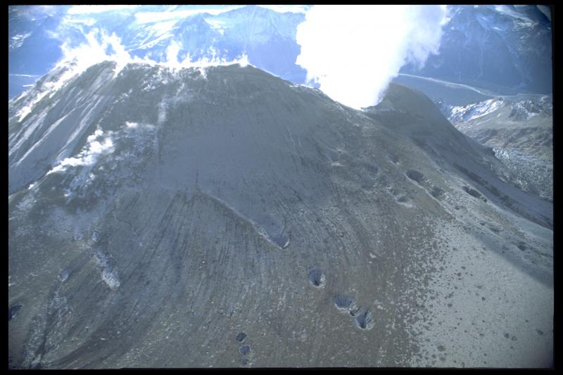
Northeast flank of Crater Peak following the August 1992 eruption. Striated patterns probably represent flow paths for pyroclastic flows that occurred during the Aug. 18 eruption and possibly flows from earlier eruptions. Large circular areas may be collapse pits where newly emplaced tephra fall/flow has covered and then fallen into crevasses or gullies buried beneath snowfields.
Date: Sep 4th, 1992
Volcano(es): Spurr Crater Peak
Photographer: Neal, C. A.
URL: avo.alaska.edu/image/view/13733
Image courtesy of AVO/USGS.Volcano(es): Spurr Crater Peak
Photographer: Neal, C. A.
URL: avo.alaska.edu/image/view/13733
Please cite the photographer and the Alaska Volcano Observatory / U.S. Geological Survey when using this image.
Full Resolution.