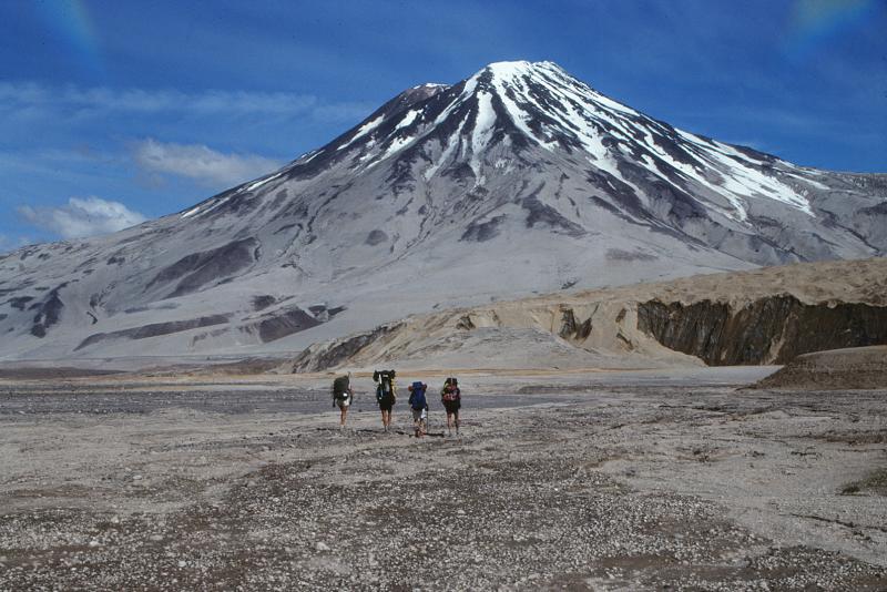
Geologists walk toward 2,317-m (7,602 ft)-high, Mount Griggs volcano from the base of Knife Creek Glacier at the base of the northwest flank of Mount Katmai. Mount Griggs volcano lies 10 km (6 mi) behind the volcanic arc defined by other Katmai group volcanoes. Although no historical eruptions have been reported from Mount Griggs, vigorously active fumaroles persist in a summit crater and along the upper southwest flank. The slopes of Mount Griggs are heavily mantled by gray fallout from the 1912 eruption of Novarupta volcano. View is to the north. Photograph by G. McGimsey, U.S. Geological Survey, July 16, 1990. L-R, Susan Walker, John Paskievitch, John Eichelberger, Jack Kleinman.
Volcano(es): Griggs Katmai
Photographer: McGimsey, R. G.
URL: avo.alaska.edu/image/view/419
Please cite the photographer and the Alaska Volcano Observatory/U.S. Geological Survey when using this image.
Full Resolution.