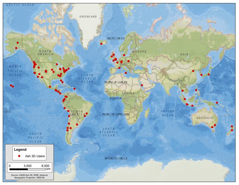
Map showing locations of Ash3D users worldwide. Ash3D is a numerical atmospheric transport model developed by the USGS to provide forecasts of expected ash dispersion (ash clouds) and deposition (ashfall).
Date: Apr 29th, 2019
Volcano(es):
Photographer: Driedger, Connie
URL: avo.alaska.edu/image/view/138821
Image courtesy of USGS.Volcano(es):
Photographer: Driedger, Connie
URL: avo.alaska.edu/image/view/138821
Please cite the photographer and the Alaska Volcano Observatory / U.S. Geological Survey when using this image.
Full Resolution.