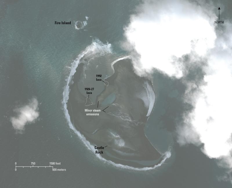
Worldview-3 satellite image of Bogoslof Island, December 3, 2017. Erosion of the island by waves has been occurring and no new eruptive material has been added to the island since the end of August, 2017. The approximate area of the island in this image is 1.3 square kilometers. Image data acquired with the Digital Globe NextView License.
Date: Dec 3rd, 2017
Volcano(es): Bogoslof
Photographer: Waythomas, Chris
URL: avo.alaska.edu/image/view/113501
Image courtesy of AVO/USGS.Volcano(es): Bogoslof
Photographer: Waythomas, Chris
URL: avo.alaska.edu/image/view/113501
Please cite the photographer and the Alaska Volcano Observatory / U.S. Geological Survey when using this image.
Full Resolution.