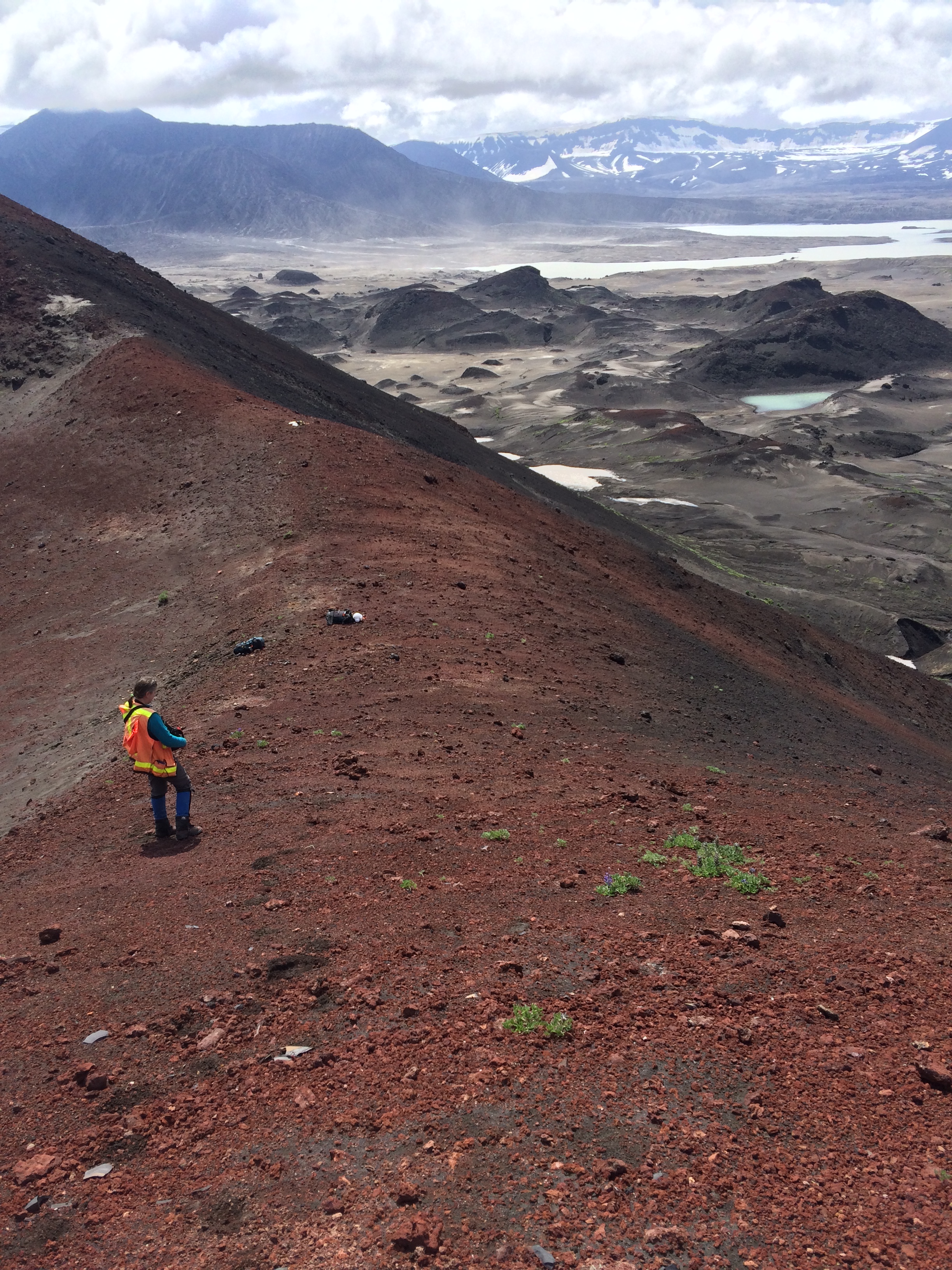
AVO geologist, Jessica Larsen (UAF/GI), collecting a GPS ground control point on the rim of Cone B, inside Okmok caldera. Ahmanilix, the new tuff cone formed during the 2008 eruption, is the flat-topped dark feature on the opposite side of the caldera, upper left on the image. View is to the southeast.
Date: Jul 14th, 2016
Volcano(es): Okmok
Photographer: Schaefer, Janet
URL: avo.alaska.edu/image/view/98591
Location:
Volcano(es): Okmok
Photographer: Schaefer, Janet
URL: avo.alaska.edu/image/view/98591
Latitude: 53.45
Longitude: -168.122025
Image courtesy of the AVO/ADGGS.
Please cite the photographer and the Alaska Volcano Observatory / Alaska Division of Geological & Geophysical Surveys when using this image.
Full Resolution.