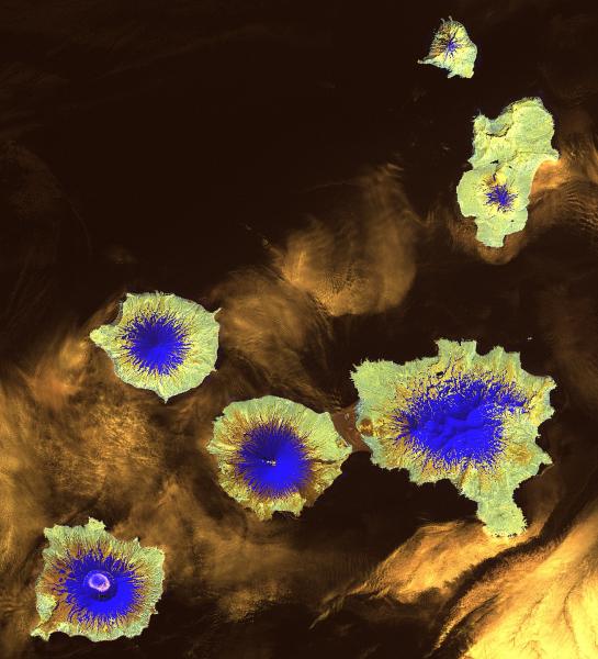
Landsat 7 ETM+ satellite image (Path 79, Row 23) of the Island of Four Mountains in the Central Aleutian Islands of Alaska. This image is a false color composite image produced by setting Landsat 7 bands 7-5-4 equal to the red-green-blue channels respectively. This image displays the volcanic area of Mt. Cleveland about 8 months before the 2001 eruptions.
Date: Jun 28th, 2000
Volcano(es): Carlisle Uliaga Kagamil Herbert Cleveland Tanax̂ Angunax̂
Photographer: Smith, S. J.
URL: avo.alaska.edu/image/view/9348
Image courtesy of Steve J. Smith.Volcano(es): Carlisle Uliaga Kagamil Herbert Cleveland Tanax̂ Angunax̂
Photographer: Smith, S. J.
URL: avo.alaska.edu/image/view/9348
Please cite Steve J. Smith when using this image. For permission contact him at iceburghwolves@charter.net.
Full Resolution.