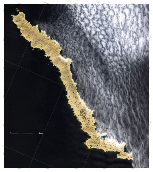
True color composite (RGB of bands 3-2-1 respectively) Landsat 7 ETM+ satellite image map of Amchitka Island in the Western Aleutian Islands of Alaska. The image was run through a 3x3 high pass filter and fused with the 15 meter panchromatic band data to produce a spatial resolution of 15 meters.
Image courtesy of Steve J. Smith.Please cite Steve J. Smith when using this image. For permission to use image, contact him at iceburghwolves@charter.net.
Full Resolution.