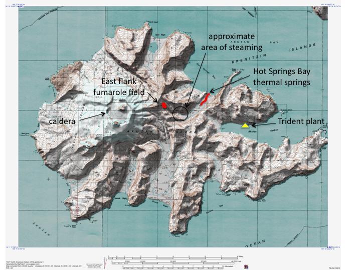
Shaded relief map of Akutan Island showing the caldera, Hot Springs Bay thermal springs, east flank fumarole field, Trident Sea Food plant, and the approximate area of rising steam observed by the plant manager on October 8, 2007. The city of Akutan is located ~1 km east of the sea food plant. AVO/USGS, BigTopo 7, and AllTopo 7.
Date: Sep 7th, 2010
Volcano(es): Akutan
Photographer: McGimsey, R. G.
URL: avo.alaska.edu/image/view/28902
Image courtesy of AVO/USGS.Volcano(es): Akutan
Photographer: McGimsey, R. G.
URL: avo.alaska.edu/image/view/28902
Please cite the photographer and the Alaska Volcano Observatory / U.S. Geological Survey when using this image.
Full Resolution.